Tepexpan night lights from space
Night Light of Tepexpan (México) from space (Mexico) Src. Average luminocity for 10x10km area is 84.9215% and for 50x50km: 68.8136%.
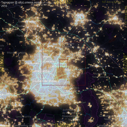
Analysis of Tepexpan night lights 2016
Square area 10x10 km:
 14.05%
90-99
25.21%80-89
19.42%70-79
37.19%60-69
4.13%50-59
0%40-49
0%30-39
0%20-29
0%10-19
0%0-9
0%Square area 50x50 km:
22.37%90-99
11.61%80-89
13.21%70-79
12.52%60-69
9.73%50-59
6.03%40-49
4.39%30-39
2.4%20-29
4.3%10-19
7.39%0-9
6.04%Clear (daylight) street map image can be seen on geolist.org.
Map coordinates:
20° 16' 29.4" North, 99° 38' 22.3" West
19° 36' 49.9" North, 98° 56' 11" West
18° 57' 0.7" North, 98° 13' 59.8" West
Some cities around Tepexpan sort by population:
• Tezoyuca
3.6 km =2.2 mi,  131°
131°
• Tequisistlán Primero
2.6 km =1.6 mi,  234°
234°
• San Cristóbal Nexquipayac
3.8 km =2.4 mi,  170°
170°
• Tequisistlán
2 km =1.2 mi,  194°
194°
• Granjas Ampliación Santa Rosa
3.9 km =2.4 mi, 233°
• Acolman de Netzahualcóyotl
4.2 km =2.6 mi,  46°
46°
• Santa Catarina
2.7 km =1.7 mi,  22°
22°
• San Bartolo
5.8 km =3.6 mi,  37°
37°
3817746 (p: 102,667)
Sources (retrieved 2019-11-25):
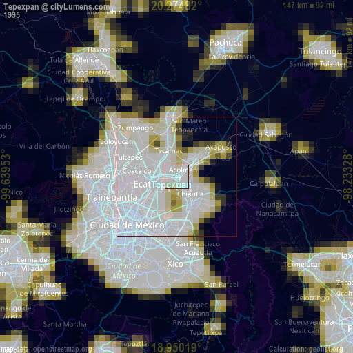
» NASA, Earths city lights 1995
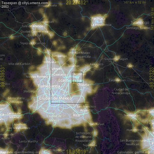
» NASA city lights 2003
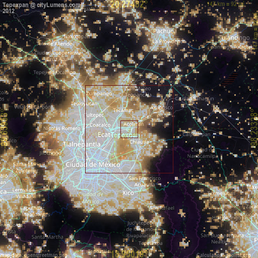
» Earth at Night: Flat Maps 2012, 2016