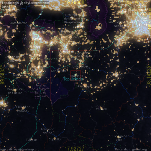
Tepalcingo night lights from space
Night Light of Tepalcingo (Morelos) from space (Mexico) Src. Average luminocity for 10x10km area is 7.2645% and for 50x50km: 10.1357%.
Analysis of Tepalcingo night lights 2016
Square area 10x10 km:
 0%
0%90-99
0%80-89
1.45%70-79
2.07%60-69
0.62%50-59
0%40-49
1.24%30-39
2.89%20-29
2.48%10-19
0%0-9
89.26%Square area 50x50 km:
0.26%90-99
0.45%80-89
1.76%70-79
1.75%60-69
2.1%50-59
0.96%40-49
2.71%30-39
2.11%20-29
2.14%10-19
7.22%0-9
78.53%Clear (daylight) street map image can be seen on geolist.org.
Map coordinates:
19° 15' 36.3" North, 99° 32' 54.6" West
18° 35' 41.9" North, 98° 50' 43.3" West
17° 55' 38.2" North, 98° 8' 32.1" West
Some cities around Tepalcingo sort by population:
• Axochiapan
14.1 km =8.8 mi,  136°
136°
• San Pedro Apatlaco
25.1 km =15.6 mi,  331°
331°
• Anenecuilco
25.3 km =15.7 mi,  323°
323°
• Jonacatepec
10.5 km =6.5 mi,  24°
24°
• Tenextepango
19 km =11.8 mi, 321°
• Ciudad Ayala
23.9 km =14.9 mi, 322°
• Temoac
21 km =13 mi, 19°
• Amayuca
15.2 km =9.4 mi, 19°
3515921 (p: 12,053)
Sources (retrieved 2019-11-25):
» Earth at Night: Flat Maps 2012, 2016