Río Grande night lights from space
Night Light of Río Grande (Zacatecas) from space (Mexico) Src. Average luminocity for 10x10km area is 35.4762% and for 50x50km: 2.7585%.
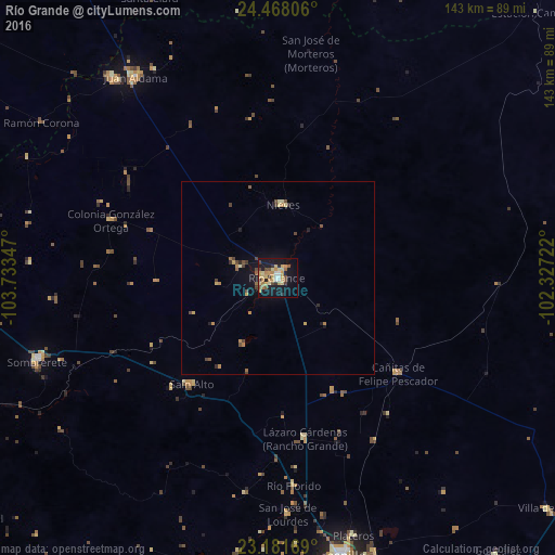

Analysis of Río Grande night lights 2016
Square area 10x10 km:
 2.18%
2.18%90-99
3.37%80-89
10.91%70-79
7.94%60-69
4.37%50-59
3.37%40-49
4.76%30-39
3.37%20-29
4.17%10-19
34.92%0-9
20.63%Square area 50x50 km:
0.09%90-99
0.16%80-89
0.61%70-79
0.54%60-69
0.36%50-59
0.31%40-49
0.69%30-39
0.29%20-29
0.39%10-19
2.12%0-9
94.44%Clear (daylight) street map image can be seen on geolist.org.
Map coordinates:
24° 28' 5" North, 103° 44' 0.5" West
23° 49' 35.3" North, 103° 1' 49.2" West
23° 10' 54.1" North, 102° 19' 38" West
Some cities around Río Grande sort by population:
• Fresnillo
73.5 km =45.7 mi,  167°
167°
• Sombrerete
65.9 km =40.9 mi,  251°
251°
• Juan Aldama
63.5 km =39.5 mi,  324°
324°
• Miguel Auza
67.3 km =41.8 mi, 320°
• Cañitas de Felipe Pescador
39.6 km =24.6 mi,  128°
128°
• Nieves
18.9 km =11.7 mi,  3°
3°
• San Jose de Lourdes
61.2 km =38 mi,  178°
178°
• Sain Alto
35.2 km =21.9 mi,  219°
219°
3988594 (p: 32,944)
Sources (retrieved 2019-11-25):
» Earth at Night: Flat Maps 2012, 2016