Fresnillo night lights from space
Night Light of Fresnillo (Zacatecas) from space (Mexico) Src. Average luminocity for 10x10km area is 52.2197% and for 50x50km: 6.0815%.
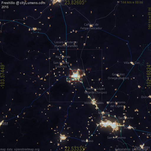
Analysis of Fresnillo night lights 2016
Square area 10x10 km:
 7.95%
7.95%90-99
9.28%80-89
10.61%70-79
9.85%60-69
7.01%50-59
4.17%40-49
6.44%30-39
4.36%20-29
21.21%10-19
18.94%0-9
0.19%Square area 50x50 km:
0.37%90-99
0.56%80-89
1.23%70-79
0.9%60-69
0.58%50-59
0.9%40-49
1.04%30-39
0.96%20-29
1.51%10-19
4.2%0-9
87.74%Clear (daylight) street map image can be seen on geolist.org.
Map coordinates:
23° 49' 33.8" North, 103° 34' 28.2" West
23° 10' 52.5" North, 102° 52' 16.9" West
22° 32' 0.1" North, 102° 10' 5.7" West
Some cities around Fresnillo sort by population:
• Zacatecas
54.7 km =34 mi,  147°
147°
• Víctor Rosales
31.1 km =19.3 mi, 146°
• Morelos
44.4 km =27.6 mi,  143°
143°
• Cañitas de Felipe Pescador
49.2 km =30.6 mi,  17°
17°
• Villa de Cos
54.7 km =34 mi,  76°
76°
• San Jose de Lourdes
17.7 km =11 mi,  306°
306°
• Pozos de Gamboa
40.2 km =25 mi,  130°
130°
• Sain Alto
58.8 km =36.5 mi,  319°
319°
4006163 (p: 120,944)
Sources (retrieved 2019-11-25):
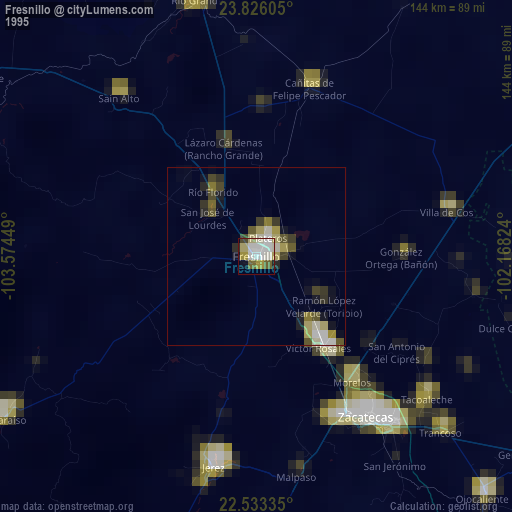
» NASA, Earths city lights 1995
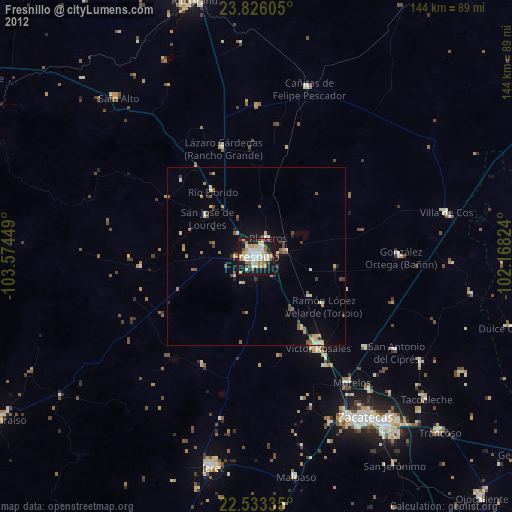
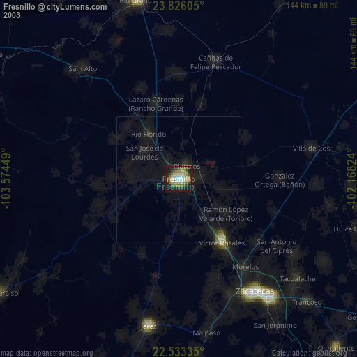
» NASA city lights 2003
» Earth at Night: Flat Maps 2012, 2016