Paraiso night lights from space
Night Light of Paraiso (Tabasco) from space (Mexico) Src. Average luminocity for 10x10km area is 67.5682% and for 50x50km: 19.6576%.
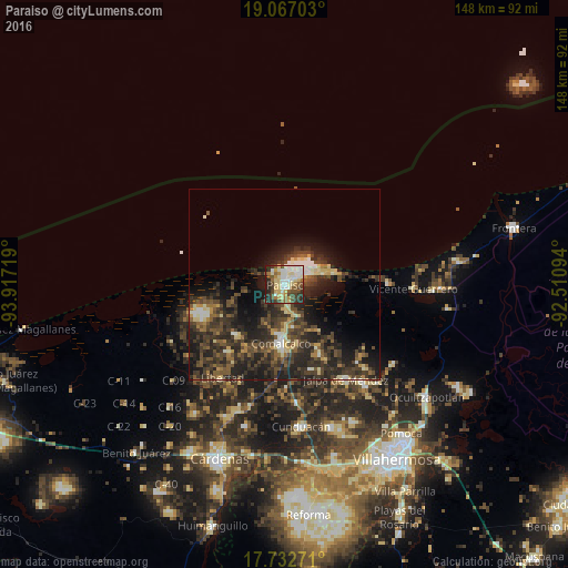
Analysis of Paraiso night lights 2016
Square area 10x10 km:
 13.02%
90-99
20.04%80-89
14.46%70-79
5.58%60-69
5.79%50-59
8.47%40-49
10.33%30-39
9.3%20-29
10.33%10-19
2.69%0-9
0%Square area 50x50 km:
1.13%90-99
2.62%80-89
2.67%70-79
1.39%60-69
1.75%50-59
3.51%40-49
5.62%30-39
7.33%20-29
9.98%10-19
11.75%0-9
52.24%Clear (daylight) street map image can be seen on geolist.org.
Map coordinates:
19° 4' 1.3" North, 93° 55' 1.9" West
18° 24' 4.2" North, 93° 12' 50.6" West
17° 43' 57.8" North, 92° 30' 39.4" West
Some cities around Paraiso sort by population:
• Comalcalco
15.4 km =9.6 mi,  183°
183°
• Jalpa de Méndez
29.7 km =18.5 mi,  147°
147°
• Villa Tecolutilla
18.2 km =11.3 mi,  224°
224°
• Chichicapa
15.8 km =9.8 mi,  167°
167°
• Ayapa
22.5 km =14 mi, 151°
• Miguel Hidalgo
19 km =11.8 mi,  212°
212°
• Villa Aldama
22.9 km =14.2 mi, 218°
• Quintín Arauz
3.2 km =2 mi,  188°
188°
3521912 (p: 25,186)
Sources (retrieved 2019-11-25):
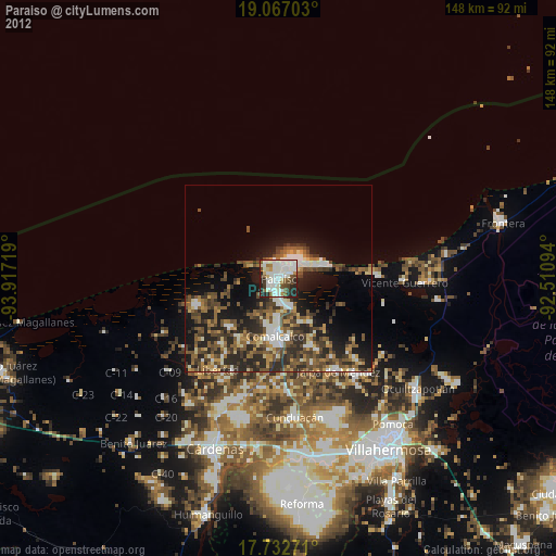
» Earth at Night: Flat Maps 2012, 2016