Matamoros night lights from space
Night Light of Matamoros (Coahuila) from space (Mexico) Src. Average luminocity for 10x10km area is 35.0298% and for 50x50km: 20.6187%.
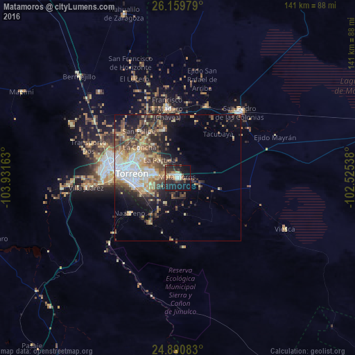
Analysis of Matamoros night lights 2016
Square area 10x10 km:
 4.37%
4.37%90-99
4.37%80-89
4.17%70-79
4.96%60-69
4.37%50-59
1.98%40-49
6.55%30-39
9.33%20-29
14.29%10-19
36.51%0-9
9.13%Square area 50x50 km:
3.52%90-99
2.78%80-89
3.18%70-79
2.91%60-69
2.4%50-59
3%40-49
4.46%30-39
3.1%20-29
5.19%10-19
8.52%0-9
60.94%Clear (daylight) street map image can be seen on geolist.org.
Map coordinates:
26° 9' 35.2" North, 103° 55' 53.9" West
25° 31' 37.2" North, 103° 13' 42.6" West
24° 53' 27" North, 102° 31' 31.4" West
Some cities around Matamoros sort by population:
• Torreón
19.2 km =11.9 mi,  275°
275°
• Gómez Palacio
27.2 km =16.9 mi, 280°
• Ciudad Lerdo
29.7 km =18.5 mi,  272°
272°
• San Pedro
10.5 km =6.5 mi,  173°
173°
• Francisco I. Madero
27.7 km =17.2 mi,  351°
351°
• San Antonio del Coyote
19.5 km =12.1 mi,  342°
342°
• Coyote
19.5 km =12.1 mi, 343°
• Nazareno
24 km =14.9 mi,  233°
233°
3996426 (p: 52,233)
Sources (retrieved 2019-11-25):
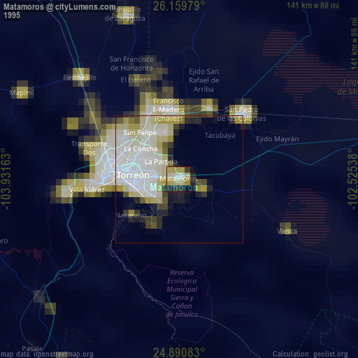
» NASA, Earths city lights 1995
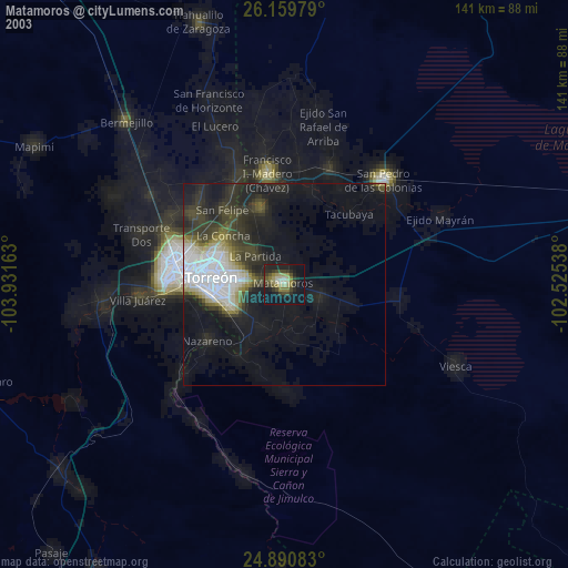
» NASA city lights 2003
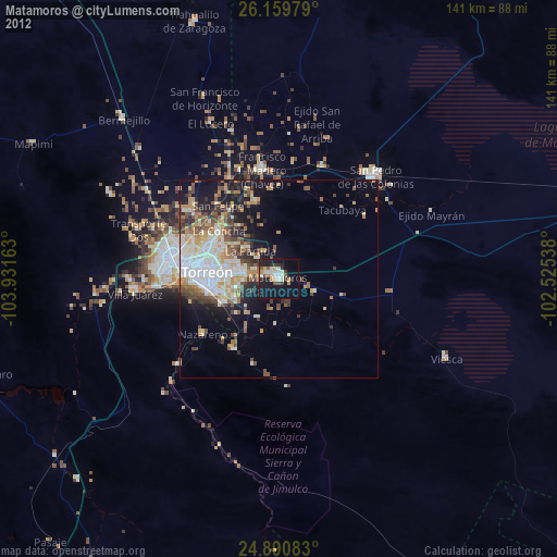
» Earth at Night: Flat Maps 2012, 2016