Gómez Palacio night lights from space
Night Light of Gómez Palacio (Durango) from space (Mexico) Src. Average luminocity for 10x10km area is 93.2879% and for 50x50km: 29.4975%.
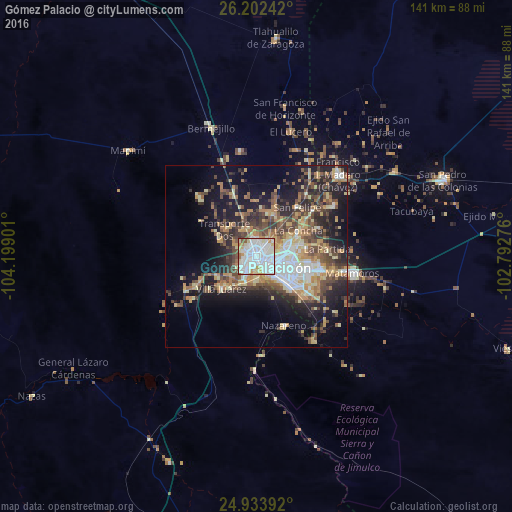
Analysis of Gómez Palacio night lights 2016
Square area 10x10 km:
 48.86%
90-99
27.65%80-89
10.04%70-79
7.39%60-69
2.08%50-59
2.84%40-49
0.76%30-39
0.38%20-29
0%10-19
0%0-9
0%Square area 50x50 km:
4.71%90-99
3.79%80-89
4.7%70-79
4.24%60-69
4%50-59
4.12%40-49
6.03%30-39
4.61%20-29
7.58%10-19
14.23%0-9
42%Clear (daylight) street map image can be seen on geolist.org.
Map coordinates:
26° 12' 8.7" North, 104° 11' 56.4" West
25° 34' 11.5" North, 103° 29' 45.2" West
24° 56' 2.1" North, 102° 47' 33.9" West
Some cities around Gómez Palacio sort by population:
• Torreón
8.2 km =5.1 mi,  110°
110°
• Ciudad Lerdo
4.6 km =2.9 mi,  218°
218°
• Matamoros
27.2 km =16.9 mi,  100°
100°
• Francisco I. Madero
31.9 km =19.8 mi,  44°
44°
• San Antonio del Coyote
25.2 km =15.7 mi,  56°
56°
• Coyote
25.4 km =15.8 mi, 56°
• Nazareno
20.4 km =12.7 mi,  158°
158°
• Villa Juárez
13.1 km =8.1 mi,  228°
228°
4005775 (p: 257,352)
Sources (retrieved 2019-11-25):
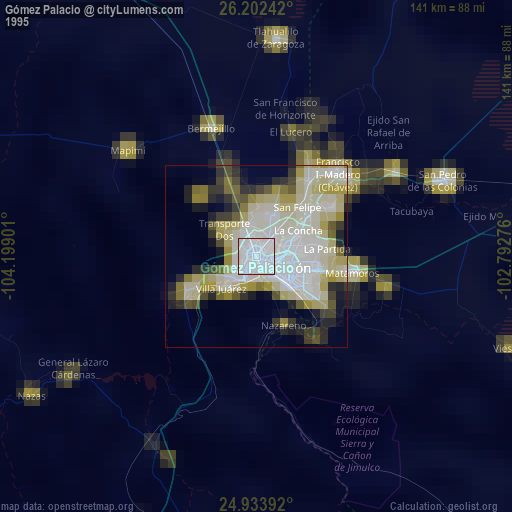
» NASA, Earths city lights 1995
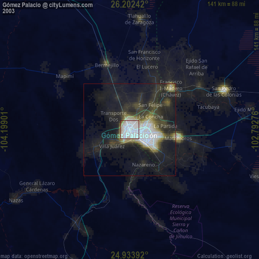
» NASA city lights 2003
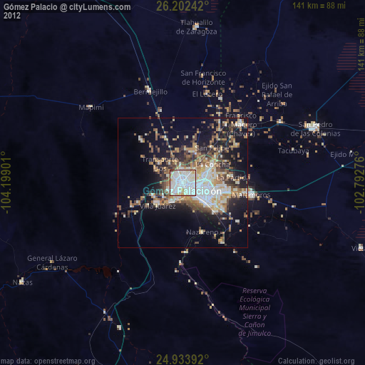
» Earth at Night: Flat Maps 2012, 2016