Ciudad Lerdo night lights from space
Night Light of Ciudad Lerdo (Durango) from space (Mexico) Src. Average luminocity for 10x10km area is 75.0099% and for 50x50km: 27.1716%.
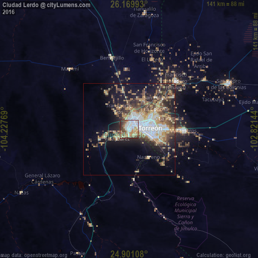
Analysis of Ciudad Lerdo night lights 2016
Square area 10x10 km:
 20.83%
90-99
14.88%80-89
15.87%70-79
10.32%60-69
8.53%50-59
8.33%40-49
10.52%30-39
8.53%20-29
2.18%10-19
0%0-9
0%Square area 50x50 km:
4.53%90-99
3.62%80-89
4.39%70-79
3.95%60-69
3.74%50-59
3.81%40-49
5.68%30-39
3.94%20-29
6.62%10-19
11.63%0-9
48.1%Clear (daylight) street map image can be seen on geolist.org.
Map coordinates:
26° 10' 11.7" North, 104° 13' 39.7" West
25° 32' 13.8" North, 103° 31' 28.4" West
24° 54' 3.9" North, 102° 49' 17.2" West
Some cities around Ciudad Lerdo sort by population:
• Torreón
10.6 km =6.6 mi,  85°
85°
• Gómez Palacio
4.6 km =2.9 mi,  38°
38°
• Matamoros
29.7 km =18.5 mi, 92°
• San Pedro
33 km =20.5 mi,  110°
110°
• San Antonio del Coyote
29.7 km =18.5 mi,  53°
53°
• Coyote
29.8 km =18.5 mi, 53°
• Nazareno
18.6 km =11.6 mi,  145°
145°
• Villa Juárez
8.6 km =5.3 mi,  234°
234°
4013706 (p: 79,669)
Sources (retrieved 2019-11-25):
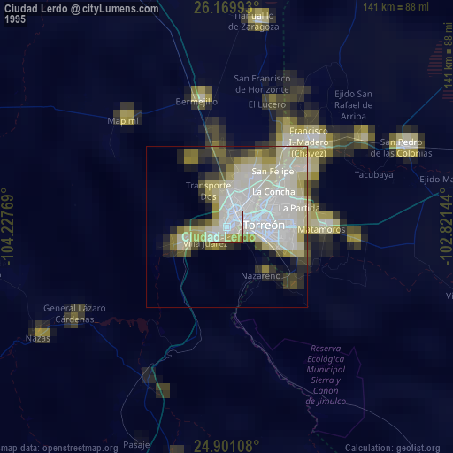
» NASA, Earths city lights 1995
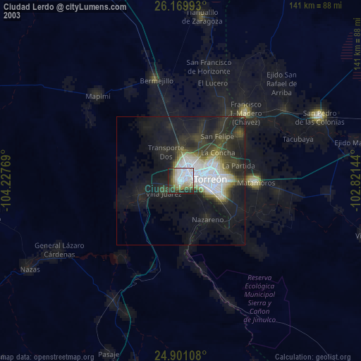
» NASA city lights 2003
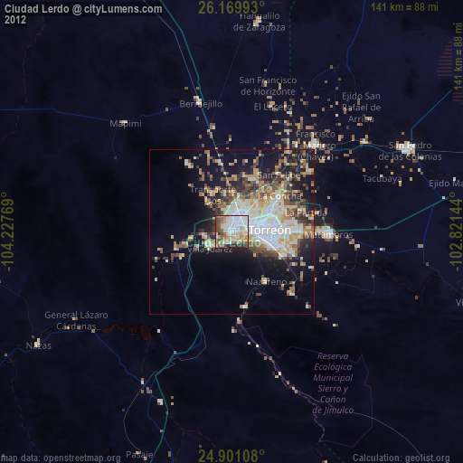
» Earth at Night: Flat Maps 2012, 2016