Izúcar de Matamoros night lights from space
Night Light of Izúcar de Matamoros (Puebla) from space (Mexico) Src. Average luminocity for 10x10km area is 29.7603% and for 50x50km: 5.2757%.
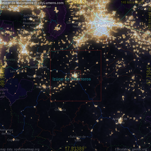
Analysis of Izúcar de Matamoros night lights 2016
Square area 10x10 km:
 0.83%
0.83%90-99
2.89%80-89
6.4%70-79
5.79%60-69
3.51%50-59
4.75%40-49
5.58%30-39
5.37%20-29
3.93%10-19
40.29%0-9
20.66%Square area 50x50 km:
0.03%90-99
0.16%80-89
0.99%70-79
0.69%60-69
0.81%50-59
0.8%40-49
1.24%30-39
1.15%20-29
0.88%10-19
3.18%0-9
90.07%Clear (daylight) street map image can be seen on geolist.org.
Map coordinates:
19° 15' 59.9" North, 99° 9' 52.7" West
18° 36' 5.7" North, 98° 27' 41.5" West
17° 56' 2" North, 97° 45' 30.2" West
Some cities around Izúcar de Matamoros sort by population:
• Atlixco
34.2 km =21.3 mi,  4°
4°
• Axochiapan
32.7 km =20.3 mi,  250°
250°
• Chiautla de Tapia
36.6 km =22.7 mi,  204°
204°
• Atencingo
18.1 km =11.2 mi,  237°
237°
• Ciudad de Chiautla de Tapia
36.7 km =22.8 mi, 204°
• San Jerónimo Coyula
33.1 km =20.6 mi,  349°
349°
• Chietla
15.3 km =9.5 mi,  233°
233°
• Tehuitzingo
35.8 km =22.2 mi,  146°
146°
3526657 (p: 42,936)
Sources (retrieved 2019-11-25):
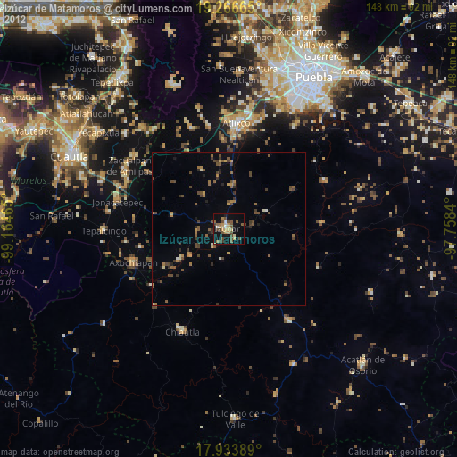
» Earth at Night: Flat Maps 2012, 2016