Naxxar night lights from space
Night Light of Naxxar (In-Naxxar) from space (Malta) Src. Average luminocity for 10x10km area is 77.1099% and for 50x50km: 10.419%.
Analysis of Naxxar night lights 2016
Square area 10x10 km:
 21.98%
90-99
22.89%80-89
6.78%70-79
12.64%60-69
15.75%50-59
3.48%40-49
7.14%30-39
2.38%20-29
6.23%10-19
0.73%0-9
0%Square area 50x50 km:
1.79%90-99
2%80-89
1.14%70-79
1.4%60-69
1.94%50-59
0.68%40-49
1.13%30-39
1.39%20-29
2.55%10-19
5.98%0-9
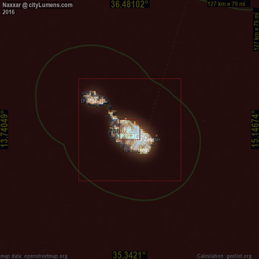
80.02%Clear (daylight) street map image can be seen on geolist.org.
Map coordinates:
36° 28' 51.7" North, 13° 44' 25.8" East
35° 54' 49" North, 14° 26' 37" East
35° 20' 31.6" North, 15° 8' 48.3" East
Some cities around Naxxar sort by population:
• Birkirkara
2.4 km =1.5 mi,  139°
139°
• Mosta
1.7 km =1.1 mi,  253°
253°
• Saint John
3.1 km =1.9 mi,  107°
107°
• Attard
2.7 km =1.7 mi,  182°
182°
• L-Iklin
1.4 km =0.9 mi, 137°
• Balzan
1.8 km =1.1 mi,  145°
145°
• Lija
1.5 km =0.9 mi,  170°
170°
• Hal Gharghur
1.3 km =0.8 mi,  30°
30°
2562683 (p: 10,378)
Sources (retrieved 2019-11-25):
» Earth at Night: Flat Maps 2012, 2016