Saipan night lights from space
Night Light of Saipan from space (Northern Mariana Islands) Src. Average luminocity for 10x10km area is 30.8058% and for 50x50km: 2.8676%.
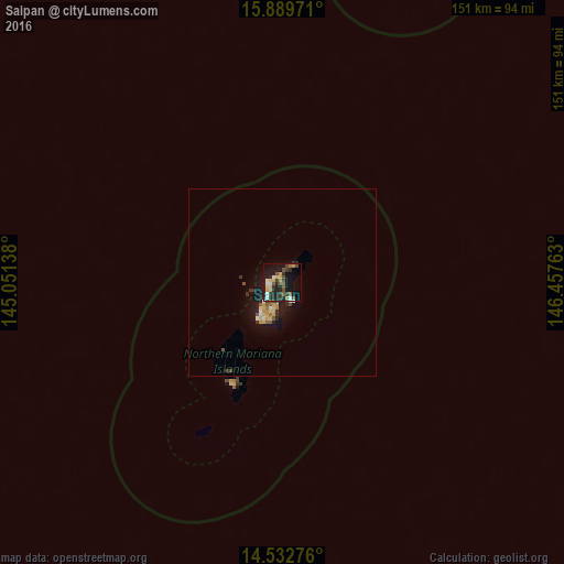
Analysis of Saipan night lights 2016
Square area 10x10 km:
 1.65%
1.65%90-99
5.37%80-89
5.17%70-79
3.72%60-69
1.03%50-59
6.2%40-49
5.99%30-39
8.26%20-29
11.78%10-19
22.11%0-9
28.72%Square area 50x50 km:
0.16%90-99
0.34%80-89
0.56%70-79
0.37%60-69
0.2%50-59
0.44%40-49
0.4%30-39
0.61%20-29
0.7%10-19
2.84%0-9
93.39%Clear (daylight) street map image can be seen on geolist.org.
Map coordinates:
15° 53' 23" North, 145° 3' 5" East
15° 12' 44.4" North, 145° 45' 16.2" East
14° 31' 57.9" North, 146° 27' 27.5" East
Some cities around Saipan sort by population:
• Dededo Village, GU
212.7 km =132.2 mi,  207°
207°
• Yigo Village, GU
208.4 km =129.5 mi, 206°
• Tamuning, GU
218.6 km =135.8 mi, 208°
• Tamuning-Tumon-Harmon Village, GU
218.5 km =135.8 mi, 208°
• San Jose Village
30.7 km =19.1 mi, 208°
• Barrigada Village, GU
219.5 km =136.4 mi, 207°
• Mongmong-Toto-Maite Village, GU
220.4 km =137 mi, 208°
• Hagåtña, GU
221.4 km =137.6 mi, 209°
7828758 (p: 48,220)
Sources (retrieved 2019-11-25):
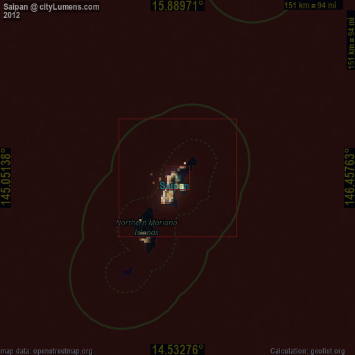
» Earth at Night: Flat Maps 2012, 2016