Dededo Village night lights from space
Night Light of Dededo Village (Dededo) from space (Guam) Src. Average luminocity for 10x10km area is 60.5372% and for 50x50km: 10.1453%.
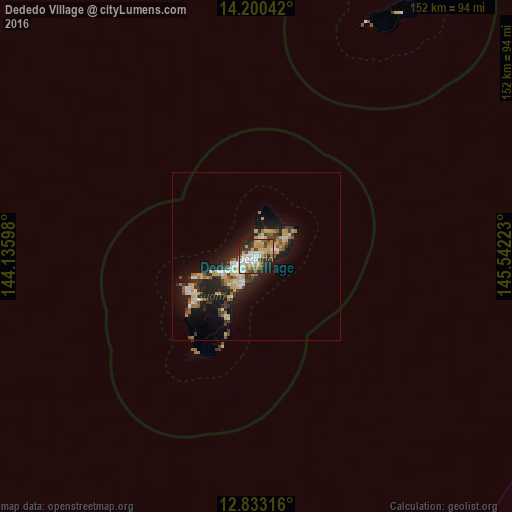
Analysis of Dededo Village night lights 2016
Square area 10x10 km:
 12.6%
12.6%90-99
11.78%80-89
8.88%70-79
13.02%60-69
7.44%50-59
4.34%40-49
9.71%30-39
5.58%20-29
18.39%10-19
8.26%0-9
0%Square area 50x50 km:
1.35%90-99
1.28%80-89
1.5%70-79
1.65%60-69
1.16%50-59
1%40-49
1.12%30-39
1.81%20-29
3.62%10-19
7.9%0-9
77.6%Clear (daylight) street map image can be seen on geolist.org.
Map coordinates:
14° 12' 1.5" North, 144° 8' 9.5" East
13° 31' 4" North, 144° 50' 20.8" East
12° 49' 59.4" North, 145° 32' 32" East
Some cities around Dededo Village sort by population:
• Yigo Village
5.7 km =3.5 mi,  69°
69°
• Tamuning-Tumon-Harmon Village
7.1 km =4.4 mi,  241°
241°
• Tamuning
7.1 km =4.4 mi, 241°
• Mangilao Village
8.8 km =5.5 mi,  207°
207°
• Barrigada Village
6.9 km =4.3 mi,  218°
218°
• Mongmong-Toto-Maite Village
8.2 km =5.1 mi,  228°
228°
• Hagåtña
10.8 km =6.7 mi, 244°
• Guam Government House
10.9 km =6.8 mi, 242°
4043909 (p: 44,943)
Sources (retrieved 2019-11-25):
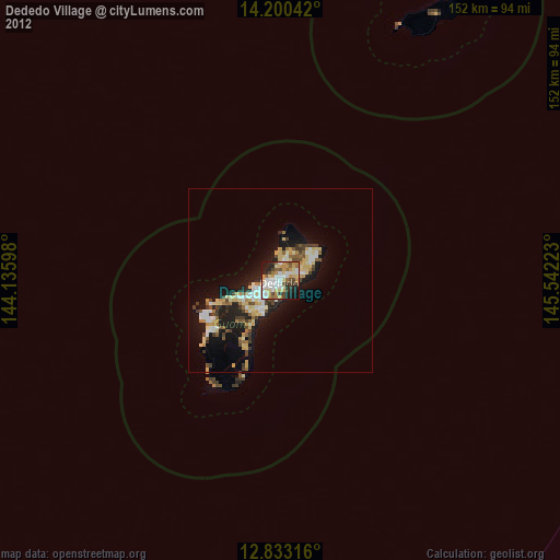
» Earth at Night: Flat Maps 2012, 2016