Mongmong-Toto-Maite Village night lights from space
Night Light of Mongmong-Toto-Maite Village (Mongmong-Toto-Maite) from space (Guam) Src. Average luminocity for 10x10km area is 63.6715% and for 50x50km: 10.3552%.
Analysis of Mongmong-Toto-Maite Village night lights 2016
Square area 10x10 km:
 17.56%
90-99
15.29%80-89
9.3%70-79
9.92%60-69
4.96%50-59
1.86%40-49
5.58%30-39
12.6%20-29
17.98%10-19
4.96%0-9
0%Square area 50x50 km:
1.35%90-99
1.28%80-89
1.54%70-79
1.65%60-69
1.2%50-59
1.12%40-49
1.13%30-39
1.93%20-29
3.62%10-19
7.9%0-9
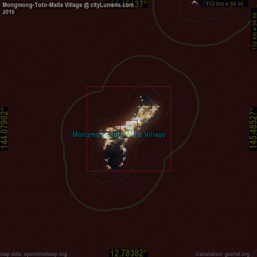
77.28%Clear (daylight) street map image can be seen on geolist.org.
Map coordinates:
14° 9' 4.9" North, 144° 4' 44.5" East
13° 28' 6.9" North, 144° 46' 55.7" East
12° 47' 1.8" North, 145° 29' 7" East
Some cities around Mongmong-Toto-Maite Village sort by population:
• Tamuning-Tumon-Harmon Village
2.1 km =1.3 mi,  357°
357°
• Tamuning
2.1 km =1.3 mi, 357°
• Mangilao Village
3.1 km =1.9 mi,  138°
138°
• Barrigada Village
1.8 km =1.1 mi,  88°
88°
• Chalan Pago-Ordot Village
3.4 km =2.1 mi,  226°
226°
• Agana Heights Village
3.7 km =2.3 mi,  264°
264°
• Sinajana Village
3.1 km =1.9 mi, 259°
• Guam Government House
3.5 km =2.2 mi,  276°
276°
7873866 (p: 6,825)
Sources (retrieved 2019-11-25):
» Earth at Night: Flat Maps 2012, 2016