Choibalsan night lights from space
Night Light of Choibalsan (East Aimak) from space (Mongolia) Src. Average luminocity for 10x10km area is 3.1875% and for 50x50km: 0.1547%.
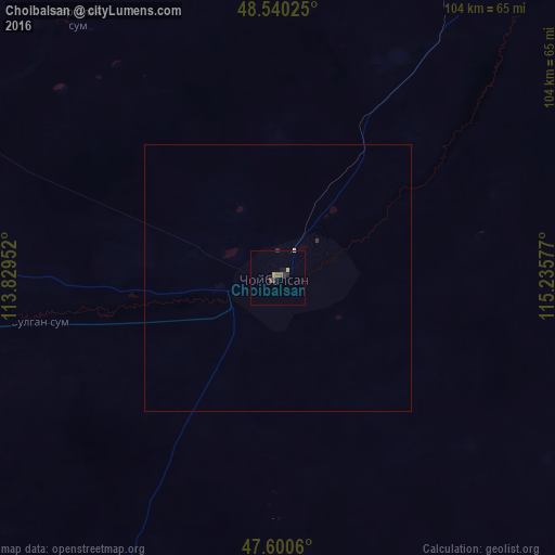
Analysis of Choibalsan night lights 2016
Square area 10x10 km:
 0%
0%90-99
0.28%80-89
0.57%70-79
0.43%60-69
0.14%50-59
1.14%40-49
0.99%30-39
0.71%20-29
0.85%10-19
1.14%0-9
93.75%Square area 50x50 km:
0%90-99
0.02%80-89
0.02%70-79
0.02%60-69
0.01%50-59
0.05%40-49
0.04%30-39
0.05%20-29
0.05%10-19
0.05%0-9
99.7%Clear (daylight) street map image can be seen on geolist.org.
Map coordinates:
48° 32' 24.9" North, 113° 49' 46.3" East
48° 4' 21.3" North, 114° 31' 57.5" East
47° 36' 2.2" North, 115° 14' 8.8" East
Some cities around Choibalsan sort by population:
• Jalai Nur, CN
278.1 km =172.8 mi,  56°
56°
• Manzhouli, CN
271.8 km =168.9 mi,  51°
51°
• Borzya, RU
294.5 km =183 mi,  29°
29°
• Baruun-Urt
181.3 km =112.7 mi,  211°
211°
• Undurkhaan
302 km =187.7 mi,  253°
253°
• Zabaykal’sk, RU
269.3 km =167.3 mi, 49°
• Olovyannaya, RU
328.5 km =204.1 mi,  13°
13°
• Dul’durga, RU
297.4 km =184.8 mi,  346°
346°
2032054 (p: 23)
Sources (retrieved 2019-11-25):
» Earth at Night: Flat Maps 2012, 2016