Churāchāndpur night lights from space
Night Light of Churāchāndpur (Manipur) from space (India) Src. Average luminocity for 10x10km area is 12.4432% and for 50x50km: 1.2902%.
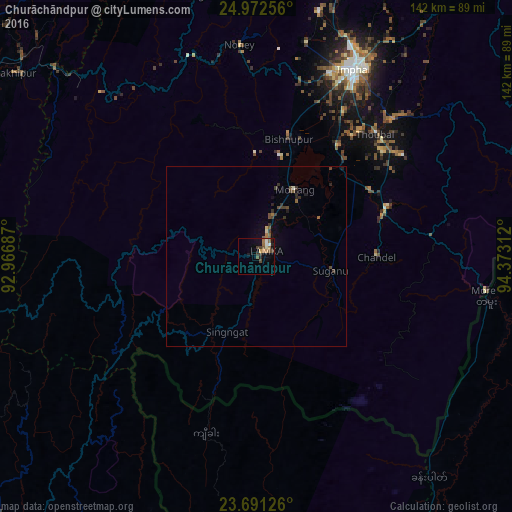
Analysis of Churāchāndpur night lights 2016
Square area 10x10 km:
 1.33%
1.33%90-99
1.33%80-89
0.76%70-79
1.33%60-69
2.84%50-59
3.03%40-49
2.65%30-39
3.03%20-29
1.52%10-19
2.08%0-9
80.11%Square area 50x50 km:
0.05%90-99
0.09%80-89
0.09%70-79
0.05%60-69
0.22%50-59
0.3%40-49
0.4%30-39
0.46%20-29
0.27%10-19
0.27%0-9
97.8%Clear (daylight) street map image can be seen on geolist.org.
Map coordinates:
24° 58' 21.2" North, 92° 58' 0.7" East
24° 20' 0.7" North, 93° 40' 12" East
23° 41' 28.5" North, 94° 22' 23.2" East
Some cities around Churāchāndpur sort by population:
• Imphal
59.6 km =37 mi,  27°
27°
• Thoubāl
47.4 km =29.5 mi,  44°
44°
• Kakching
36.4 km =22.6 mi,  59°
59°
• Mayāng Imphāl
37.9 km =23.5 mi, 35°
• Moirāng
21.3 km =13.2 mi, 30°
• Lakhipur
84.1 km =52.3 mi,  307°
307°
• Yairipok
54.1 km =33.6 mi, 44°
• Wāngjing
49 km =30.4 mi,  54°
54°
1273909 (p: 47,774)
Sources (retrieved 2019-11-25):
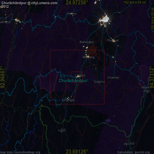
» Earth at Night: Flat Maps 2012, 2016