Bijelo Polje night lights from space
Night Light of Bijelo Polje from space (Montenegro) Src. Average luminocity for 10x10km area is 7.1571% and for 50x50km: 0.9724%.
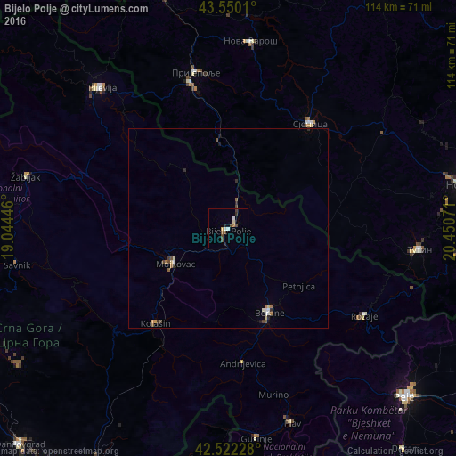
Analysis of Bijelo Polje night lights 2016
Square area 10x10 km:
 0.79%
0.79%90-99
1.11%80-89
0.63%70-79
0.63%60-69
0.63%50-59
0.63%40-49
3.33%30-39
0.48%20-29
1.75%10-19
0.16%0-9
89.84%Square area 50x50 km:
0.08%90-99
0.16%80-89
0.09%70-79
0.09%60-69
0.15%50-59
0.14%40-49
0.27%30-39
0.12%20-29
0.2%10-19
0.11%0-9
98.59%Clear (daylight) street map image can be seen on geolist.org.
Map coordinates:
43° 33' 0.4" North, 19° 2' 40.1" East
43° 2' 18" North, 19° 44' 51.3" East
42° 31' 20.2" North, 20° 27' 2.6" East
Some cities around Bijelo Polje sort by population:
• Pljevlja
47.4 km =29.5 mi,  318°
318°
• Berane
24.1 km =15 mi,  154°
154°
• Rožaje
41 km =25.5 mi,  123°
123°
• Mojkovac
15.9 km =9.9 mi,  237°
237°
• Plav
51.7 km =32.1 mi,  161°
161°
• Kolašin
30.5 km =19 mi,  218°
218°
• Andrijevica
34 km =21.1 mi,  173°
173°
• Petnjica
22.8 km =14.2 mi,  129°
129°
3204176 (p: 15,400)
Sources (retrieved 2019-11-25):
» Earth at Night: Flat Maps 2012, 2016