Comrat night lights from space
Night Light of Comrat (Găgăuzia) from space (Moldova) Src. Average luminocity for 10x10km area is 1.4821% and for 50x50km: 0.0949%.
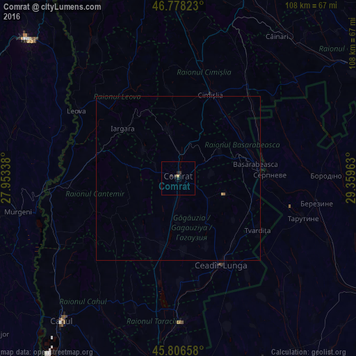
Analysis of Comrat night lights 2016
Square area 10x10 km:
 0%
0%90-99
0%80-89
0%70-79
0.6%60-69
0%50-59
0%40-49
0%30-39
1.19%20-29
1.79%10-19
0%0-9
96.43%Square area 50x50 km:
0%90-99
0%80-89
0.02%70-79
0.02%60-69
0%50-59
0.02%40-49
0%30-39
0.05%20-29
0.07%10-19
0%0-9
99.81%Clear (daylight) street map image can be seen on geolist.org.
Map coordinates:
46° 46' 41.6" North, 27° 57' 12.2" East
46° 17' 40.4" North, 28° 39' 23.4" East
45° 48' 23.7" North, 29° 21' 34.7" East
Some cities around Comrat sort by population:
• Ceadîr-Lunga
29.2 km =18.1 mi,  152°
152°
• Leova
37.3 km =23.2 mi,  304°
304°
• Cimişlia
27.1 km =16.8 mi,  17°
17°
• Basarabeasca
23.9 km =14.9 mi,  80°
80°
• Fălciu, RO
39.6 km =24.6 mi,  270°
270°
• Tvardița
28.8 km =17.9 mi,  124°
124°
• Iargara
22.8 km =14.2 mi,  309°
309°
• Cantemir
34.9 km =21.7 mi, 266°
618405 (p: 22,911)
Sources (retrieved 2019-11-25):
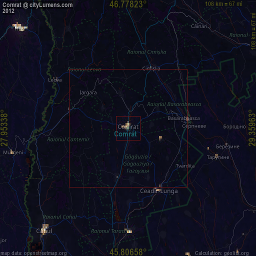
» Earth at Night: Flat Maps 2012, 2016