Ceadîr-Lunga night lights from space
Night Light of Ceadîr-Lunga (Găgăuzia) from space (Moldova) Src. Average luminocity for 10x10km area is 0.5866% and for 50x50km: 0.1239%.
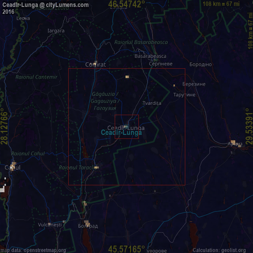
Analysis of Ceadîr-Lunga night lights 2016
Square area 10x10 km:
 0%
0%90-99
0%80-89
0%70-79
0%60-69
0%50-59
0.14%40-49
0.43%30-39
0.28%20-29
0.71%10-19
0.14%0-9
98.3%Square area 50x50 km:
0%90-99
0%80-89
0.02%70-79
0%60-69
0.02%50-59
0.08%40-49
0.04%30-39
0.01%20-29
0.03%10-19
0.03%0-9
99.76%Clear (daylight) street map image can be seen on geolist.org.
Map coordinates:
46° 32' 50.7" North, 28° 7' 39.6" East
46° 3' 42.1" North, 28° 49' 50.8" East
45° 34' 17.9" North, 29° 32' 2.1" East
Some cities around Ceadîr-Lunga sort by population:
• Comrat
29.2 km =18.1 mi,  332°
332°
• Artsyz, UA
46 km =28.6 mi,  99°
99°
• Bolhrad, UA
45.3 km =28.1 mi,  201°
201°
• Taraclia
21.7 km =13.5 mi,  215°
215°
• Basarabeasca
31.7 km =19.7 mi,  18°
18°
• Tarutyne, UA
28.4 km =17.6 mi,  60°
60°
• Tvardița
14.1 km =8.8 mi,  47°
47°
• Iargara
51 km =31.7 mi,  322°
322°
618450 (p: 22,700)
Sources (retrieved 2019-11-25):
» Earth at Night: Flat Maps 2012, 2016