Cesvaine night lights from space
Night Light of Cesvaine from space (Latvia) Src. Average luminocity for 10x10km area is 0.45% and for 50x50km: 0.3072%.
Analysis of Cesvaine night lights 2016
Square area 10x10 km:
 0%
0%90-99
0%80-89
0%70-79
0%60-69
0%50-59
0.45%40-49
0%30-39
0.45%20-29
0%10-19
0%0-9
99.09%Square area 50x50 km:
0.07%90-99
0.06%80-89
0.02%70-79
0.02%60-69
0.04%50-59
0.04%40-49
0.04%30-39
0.03%20-29
0%10-19
0%0-9
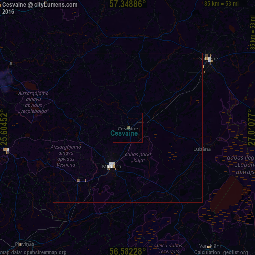
99.68%Clear (daylight) street map image can be seen on geolist.org.
Map coordinates:
57° 20' 55.9" North, 25° 36' 16.3" East
56° 58' 3.1" North, 26° 18' 27.5" East
56° 34' 56.2" North, 27° 0' 38.8" East
Some cities around Cesvaine sort by population:
• Gulbene
35.6 km =22.1 mi,  49°
49°
• Madona
13.8 km =8.6 mi,  203°
203°
• Ērgļi
41.4 km =25.7 mi,  259°
259°
• Varakļāni
48.3 km =30 mi,  145°
145°
• Lubāna
25.8 km =16 mi,  105°
105°
• Vecpiebalga
31.5 km =19.6 mi,  289°
289°
• Rugāji
50.2 km =31.2 mi,  85°
85°
• Jaunpiebalga
28.8 km =17.9 mi,  324°
324°
460568 (p: 1,811)
Sources (retrieved 2019-11-25):
» Earth at Night: Flat Maps 2012, 2016