Vecpiebalga night lights from space
Night Light of Vecpiebalga from space (Latvia) Src. Average luminocity for 10x10km area is 0% and for 50x50km: 0.2693%.
Analysis of Vecpiebalga night lights 2016
Square area 10x10 km:
 0%
0%90-99
0%80-89
0%70-79
0%60-69
0%50-59
0%40-49
0%30-39
0%20-29
0%10-19
0%0-9
100%Square area 50x50 km:
0.07%90-99
0.08%80-89
0%70-79
0.04%60-69
0.02%50-59
0.01%40-49
0.05%30-39
0.03%20-29
0%10-19
0%0-9
99.7%Clear (daylight) street map image can be seen on geolist.org.
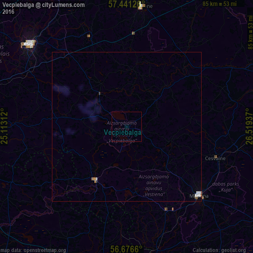
Map coordinates:
57° 26' 28.5" North, 25° 6' 47.2" East
57° 3' 39.2" North, 25° 48' 58.5" East
56° 40' 35.8" North, 26° 31' 9.7" East
Some cities around Vecpiebalga sort by population:
• Madona
33.5 km =20.8 mi,  133°
133°
• Smiltene
40.7 km =25.3 mi,  7°
7°
• Priekuļi
39.4 km =24.5 mi,  315°
315°
• Ērgļi
21.2 km =13.2 mi,  210°
210°
• Cesvaine
31.5 km =19.6 mi,  109°
109°
• Drabeši
38.3 km =23.8 mi,  301°
301°
• Rauna
32.6 km =20.3 mi,  337°
337°
• Jaunpiebalga
18.2 km =11.3 mi,  44°
44°
454408 (p: 596)
Sources (retrieved 2019-11-25):
» Earth at Night: Flat Maps 2012, 2016