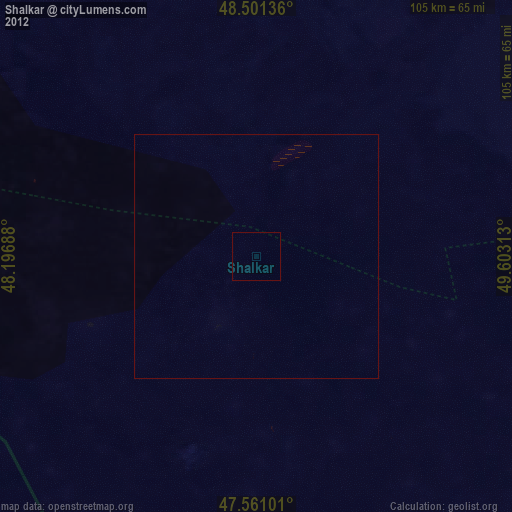
Shalkar night lights from space
Night Light of Shalkar (Atyraū) from space (Kazakhstan) Src. Average luminocity for 10x10km area is 0% and for 50x50km: 0%.
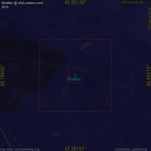
Analysis of Shalkar night lights 2016
Square area 10x10 km:
 0%
0%90-99
0%80-89
0%70-79
0%60-69
0%50-59
0%40-49
0%30-39
0%20-29
0%10-19
0%0-9
100%Square area 50x50 km:
0%90-99
0%80-89
0%70-79
0%60-69
0%50-59
0%40-49
0%30-39
0%20-29
0%10-19
0%0-9
100%Clear (daylight) street map image can be seen on geolist.org.
Map coordinates:
48° 30' 4.9" North, 48° 11' 48.8" East
48° 1' 60" North, 48° 54' 0" East
47° 33' 39.6" North, 49° 36' 11.3" East
Some cities around Shalkar sort by population:
• Kharabali, RU
140.6 km =87.4 mi,  240°
240°
• Narimanov, RU
168.7 km =104.8 mi,  207°
207°
• Verkhniy Baskunchak, RU
163.1 km =101.3 mi,  277°
277°
• Maloye Ganyushkino
161.7 km =100.5 mi,  170°
170°
• Yenotayevka, RU
165.3 km =102.7 mi, 238°
• Zhumysker
149.1 km =92.6 mi,  14°
14°
• Dzhangala
168.5 km =104.7 mi,  38°
38°
• Tsagan Aman, RU
170.9 km =106.2 mi,  252°
252°
608362 (p: 27,072)
Sources (retrieved 2019-11-25):
» Earth at Night: Flat Maps 2012, 2016