Yenotayevka night lights from space
Night Light of Yenotayevka (Astrakhan) from space (Russia) Src. Average luminocity for 10x10km area is 0.4048% and for 50x50km: 0.273%.
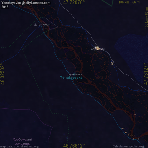
Analysis of Yenotayevka night lights 2016
Square area 10x10 km:
 0%
0%90-99
0%80-89
0%70-79
0%60-69
0%50-59
0%40-49
0%30-39
0.6%20-29
0.6%10-19
0%0-9
98.81%Square area 50x50 km:
0%90-99
0.01%80-89
0.06%70-79
0.09%60-69
0.05%50-59
0.05%40-49
0.01%30-39
0.06%20-29
0.06%10-19
0.05%0-9
99.58%Clear (daylight) street map image can be seen on geolist.org.
Map coordinates:
47° 43' 14.7" North, 46° 19' 30.1" East
47° 14' 44.1" North, 47° 1' 41.3" East
46° 45' 58" North, 47° 43' 52.6" East
Some cities around Yenotayevka sort by population:
• Astrakhan
126 km =78.3 mi,  142°
142°
• Kharabali
25.9 km =16.1 mi,  41°
41°
• Narimanov
87.6 km =54.4 mi,  134°
134°
• Krasnyy Yar
127.7 km =79.3 mi, 128°
• Verkhniy Baskunchak
111.4 km =69.2 mi,  348°
348°
• Chyorny Yar
114 km =70.8 mi,  322°
322°
• Tsagan Aman
42.2 km =26.2 mi,  326°
326°
• Starokucherganovka
124.4 km =77.3 mi,  145°
145°
467479 (p: 7,985)
Sources (retrieved 2019-11-25):
» Earth at Night: Flat Maps 2012, 2016