Kurchatov night lights from space
Night Light of Kurchatov (East Kazakhstan) from space (Kazakhstan) Src. Average luminocity for 10x10km area is 0.9773% and for 50x50km: 0.0443%.
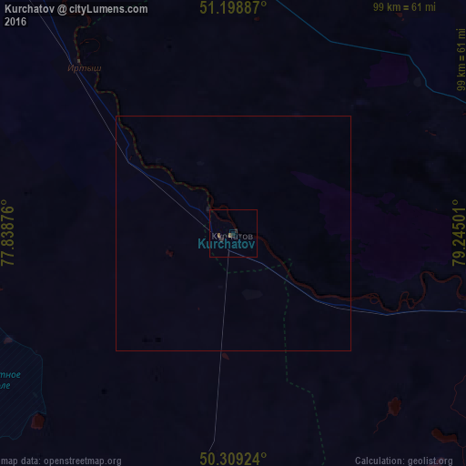
Analysis of Kurchatov night lights 2016
Square area 10x10 km:
 0%
0%90-99
0%80-89
0%70-79
0%60-69
0%50-59
0.67%40-49
0.4%30-39
0%20-29
0.8%10-19
0.8%0-9
97.33%Square area 50x50 km:
0%90-99
0%80-89
0%70-79
0%60-69
0%50-59
0.03%40-49
0.02%30-39
0%20-29
0.03%10-19
0.05%0-9
99.87%Clear (daylight) street map image can be seen on geolist.org.
Map coordinates:
51° 11' 55.9" North, 77° 50' 19.5" East
50° 45' 22.2" North, 78° 32' 30.8" East
50° 18' 33.3" North, 79° 14' 42" East
Some cities around Kurchatov sort by population:
• Semey
127.1 km =79 mi,  106°
106°
• Aksu
181.4 km =112.7 mi,  321°
321°
• Mikhaylovskoye, RU
144.1 km =89.5 mi,  34°
34°
• Volchikha, RU
188.2 km =116.9 mi,  42°
42°
• Klyuchi, RU
172 km =106.9 mi,  14°
14°
• Zhezkent
198.9 km =123.6 mi,  84°
84°
• Borodulikha
168.1 km =104.5 mi,  91°
91°
• Veseloyarsk, RU
188.9 km =117.4 mi,  71°
71°
1520885 (p: 10,747)
Sources (retrieved 2019-11-25):
» Earth at Night: Flat Maps 2012, 2016