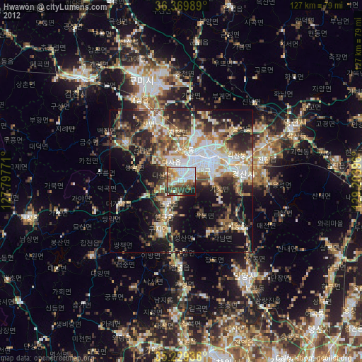
Hwawŏn night lights from space
Night Light of Hwawŏn (Daegu) from space (South Korea) Src. Average luminocity for 10x10km area is 73.0892% and for 50x50km: 39.1566%.

Analysis of Hwawŏn night lights 2016
Square area 10x10 km:
 21.33%
90-99
21.15%80-89
6.82%70-79
7.52%60-69
10.14%50-59
9.09%40-49
10.49%30-39
6.29%20-29
6.29%10-19
0.87%0-9
0%Square area 50x50 km:
6.88%90-99
7.95%80-89
4.62%70-79
5.27%60-69
5.2%50-59
5.42%40-49
6%30-39
7.15%20-29
10.45%10-19
14.01%0-9
27.07%Clear (daylight) street map image can be seen on geolist.org.
Map coordinates:
36° 22' 11.6" North, 127° 47' 51.8" East
35° 48' 6" North, 128° 30' 3" East
35° 13' 45.7" North, 129° 12' 14.3" East
Some cities around Hwawŏn sort by population:
• Daegu
11.2 km =7 mi,  46°
46°
• Gumi
37.7 km =23.4 mi,  336°
336°
• Gyeongsan-si
21.5 km =13.4 mi,  83°
83°
• Changnyeong
28.9 km =18 mi,  181°
181°
• Eisen
42.9 km =26.7 mi,  64°
64°
• Miryang
41 km =25.5 mi,  146°
146°
• Hayang
31.3 km =19.4 mi,  66°
66°
• Waegwan
23.2 km =14.4 mi, 336°
1925943 (p: 64,718)
Sources (retrieved 2019-11-25):
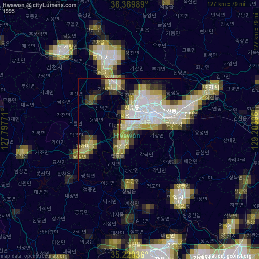
» NASA, Earths city lights 1995
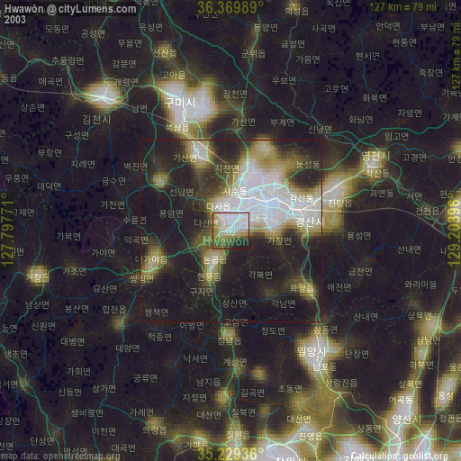
» NASA city lights 2003
» Earth at Night: Flat Maps 2012, 2016