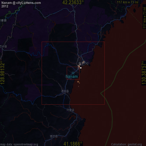
Nanam night lights from space
Night Light of Nanam (Hamgyŏng-bukto) from space (North Korea) Src. Average luminocity for 10x10km area is 0.5942% and for 50x50km: 0.0665%.
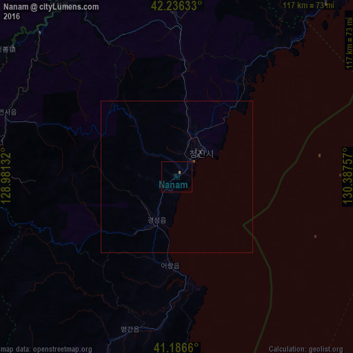
Analysis of Nanam night lights 2016
Square area 10x10 km:
 0%
0%90-99
0%80-89
0%70-79
0.65%60-69
0%50-59
0%40-49
0%30-39
0%20-29
0%10-19
0.32%0-9
99.03%Square area 50x50 km:
0%90-99
0%80-89
0%70-79
0.03%60-69
0%50-59
0%40-49
0.03%30-39
0.01%20-29
0.11%10-19
0.03%0-9
99.81%Clear (daylight) street map image can be seen on geolist.org.
Map coordinates:
42° 14' 10.8" North, 128° 58' 52.8" East
41° 42' 49" North, 129° 41' 4" East
41° 11' 11.8" North, 130° 23' 15.3" East
Some cities around Nanam sort by population:
• Chongjin
11.9 km =7.4 mi,  39°
39°
• Kyŏngsŏng
15.4 km =9.6 mi,  204°
204°
• Musan-ŭp
69.3 km =43.1 mi,  325°
325°
• Hau-ri
59.8 km =37.2 mi, 197°
• Puryŏng
38.6 km =24 mi,  3°
3°
• Komusan Il-tong
44 km =27.3 mi, 1°
• Hoemul-li
31.1 km =19.3 mi,  182°
182°
• Sŭngam-nodongjagu
5 km =3.1 mi,  194°
194°
2042498 (p: 34,055)
Sources (retrieved 2019-11-25):
» Earth at Night: Flat Maps 2012, 2016