Fig Tree night lights from space
Night Light of Fig Tree (Saint John Figtree) from space (Saint Kitts and Nevis) Src. Average luminocity for 10x10km area is 23.2294% and for 50x50km: 2.8202%.
Analysis of Fig Tree night lights 2016
Square area 10x10 km:
 0.22%
0.22%90-99
0.65%80-89
4.33%70-79
7.58%60-69
6.49%50-59
1.52%40-49
0.87%30-39
5.84%20-29
1.95%10-19
18.83%0-9
51.73%Square area 50x50 km:
0.14%90-99
0.21%80-89
0.45%70-79
0.52%60-69
0.7%50-59
0.29%40-49
0.1%30-39
0.45%20-29
0.29%10-19
2.79%0-9
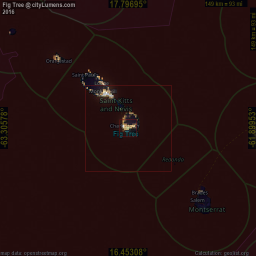
94.06%Clear (daylight) street map image can be seen on geolist.org.
Map coordinates:
17° 47' 49" North, 63° 18' 20.8" West
17° 7' 34.4" North, 62° 36' 9.5" West
16° 27' 11.1" North, 61° 53' 58.3" West
Some cities around Fig Tree sort by population:
• Basseterre
22.9 km =14.2 mi,  325°
325°
• Market Shop
3.3 km =2.1 mi,  78°
78°
• Trinity
26.7 km =16.6 mi,  316°
316°
• Charlestown
1.7 km =1.1 mi,  297°
297°
• Cayon
28.5 km =17.7 mi, 330°
• Monkey Hill
25.7 km =16 mi, 328°
• Newcastle
8.5 km =5.3 mi,  14°
14°
• Cotton Ground
4.7 km =2.9 mi,  341°
341°
3575423 (p: 2,922)
Sources (retrieved 2019-11-25):
» Earth at Night: Flat Maps 2012, 2016