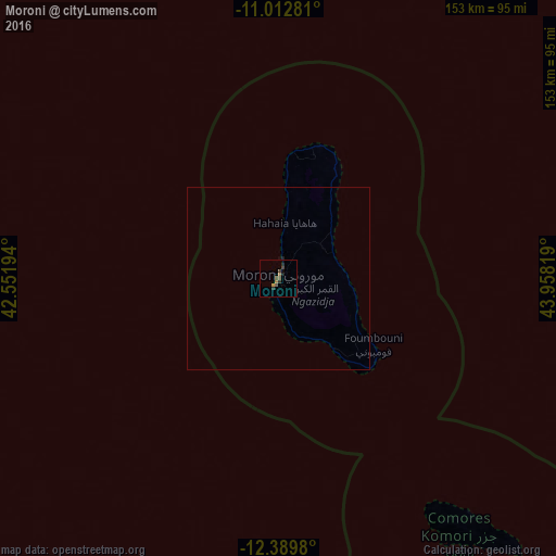
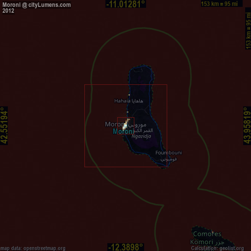
Moroni night lights from space
Night Light of Moroni (Grande Comore) from space (Comoros) Src. Average luminocity for 10x10km area is 5.1694% and for 50x50km: 0.2226%.
Analysis of Moroni night lights 2016
Square area 10x10 km:
 0%
0%90-99
0%80-89
0%70-79
0.62%60-69
1.86%50-59
1.45%40-49
2.48%30-39
1.03%20-29
1.65%10-19
1.03%0-9
89.88%Square area 50x50 km:
0%90-99
0%80-89
0%70-79
0.03%60-69
0.08%50-59
0.06%40-49
0.1%30-39
0.04%20-29
0.08%10-19
0.06%0-9
99.55%Clear (daylight) street map image can be seen on geolist.org.
Map coordinates:
11° 0' 46.1" South, 42° 33' 7" East
11° 42' 7.8" South, 43° 15' 18.2" East
12° 23' 23.3" South, 43° 57' 29.5" East
Some cities around Moroni sort by population:
• Moutsamoudou
134.8 km =83.8 mi,  112°
112°
• Fomboni
84 km =52.2 mi,  140°
140°
• Sima
123.9 km =77 mi,  116°
116°
• Ouani
136.1 km =84.6 mi, 110°
• Mirontsi
135.2 km =84 mi, 111°
• Mbéni
26 km =16.2 mi,  30°
30°
• Mitsamiouli
35.4 km =22 mi,  5°
5°
• Ouellah
35.7 km =22.2 mi, 13°
921772 (p: 42,872)
Sources (retrieved 2019-11-25):
» Earth at Night: Flat Maps 2012, 2016