Moutsamoudou night lights from space
Night Light of Moutsamoudou (Anjouan) from space (Comoros) Src. Average luminocity for 10x10km area is 0.9504% and for 50x50km: 0.0387%.
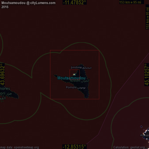
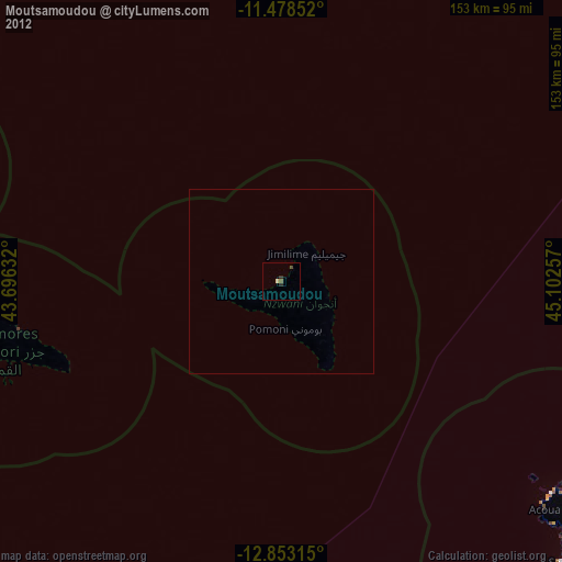
Analysis of Moutsamoudou night lights 2016
Square area 10x10 km:
 0%
0%90-99
0%80-89
0%70-79
0%60-69
0%50-59
0.83%40-49
0.83%30-39
0%20-29
0%10-19
0%0-9
98.35%Square area 50x50 km:
0%90-99
0%80-89
0%70-79
0%60-69
0%50-59
0.03%40-49
0.03%30-39
0%20-29
0%10-19
0%0-9
99.93%Clear (daylight) street map image can be seen on geolist.org.
Map coordinates:
11° 28' 42.7" South, 43° 41' 46.8" East
12° 10' 0.2" South, 44° 23' 58" East
12° 51' 11.3" South, 45° 6' 9.3" East
Some cities around Moutsamoudou sort by population:
• Tsimbeo
8.3 km =5.2 mi,  121°
121°
• Sima
13.7 km =8.5 mi,  256°
256°
• Ouani
4.4 km =2.7 mi,  38°
38°
• Mirontsi
1.5 km =0.9 mi, 39°
• Koni-Djodjo
11.4 km =7.1 mi,  128°
128°
• Moya
16.4 km =10.2 mi,  165°
165°
• Barakani
4.6 km =2.9 mi,  46°
46°
• Chandra
7.8 km =4.8 mi,  113°
113°
921753 (p: 23,594)
Sources (retrieved 2019-11-25):
» Earth at Night: Flat Maps 2012, 2016