Kyzyl-Kyya night lights from space
Night Light of Kyzyl-Kyya (Batken) from space (Kyrgyzstan) Src. Average luminocity for 10x10km area is 19.3084% and for 50x50km: 2.4117%.
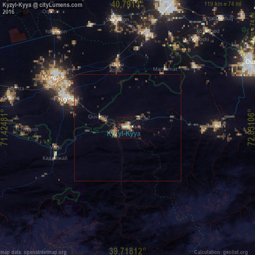
Analysis of Kyzyl-Kyya night lights 2016
Square area 10x10 km:
 0.32%
0.32%90-99
2.27%80-89
2.44%70-79
3.08%60-69
3.57%50-59
5.03%40-49
1.95%30-39
1.3%20-29
1.46%10-19
18.83%0-9
59.74%Square area 50x50 km:
0.05%90-99
0.14%80-89
0.11%70-79
0.2%60-69
0.47%50-59
0.55%40-49
0.38%30-39
0.72%20-29
0.8%10-19
1.81%0-9
94.74%Clear (daylight) street map image can be seen on geolist.org.
Map coordinates:
40° 47' 28.7" North, 71° 25' 29.3" East
40° 15' 24.6" North, 72° 7' 40.5" East
39° 43' 5.2" North, 72° 49' 51.8" East
Some cities around Kyzyl-Kyya sort by population:
• Fergana, UZ
32.4 km =20.1 mi,  295°
295°
• Quva, UZ
29.9 km =18.6 mi,  351°
351°
• Quvasoy, UZ
13.3 km =8.3 mi,  289°
289°
• Toshloq, UZ
39.1 km =24.3 mi,  308°
308°
• Iradan
2.6 km =1.6 mi, 294°
• Kirguli, UZ
36.5 km =22.7 mi, 303°
• Marhamat, UZ
29.4 km =18.3 mi,  32°
32°
• Yangi Marg‘ilon, UZ
39.5 km =24.5 mi, 298°
1527719 (p: 32,000)
Sources (retrieved 2019-11-25):
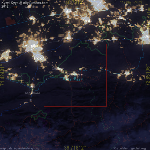
» Earth at Night: Flat Maps 2012, 2016