Iradan night lights from space
Night Light of Iradan (Batken) from space (Kyrgyzstan) Src. Average luminocity for 10x10km area is 23.0779% and for 50x50km: 3.3291%.
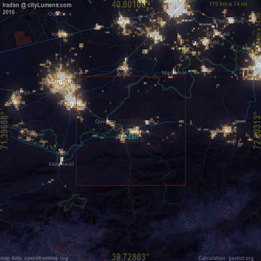
Analysis of Iradan night lights 2016
Square area 10x10 km:
 0.32%
0.32%90-99
2.27%80-89
1.95%70-79
3.41%60-69
5.68%50-59
8.77%40-49
2.76%30-39
3.08%20-29
1.95%10-19
18.67%0-9
51.14%Square area 50x50 km:
0.08%90-99
0.28%80-89
0.2%70-79
0.35%60-69
0.71%50-59
0.72%40-49
0.46%30-39
1.06%20-29
1.19%10-19
2.22%0-9
92.73%Clear (daylight) street map image can be seen on geolist.org.
Map coordinates:
40° 48' 3.8" North, 71° 23' 48.8" East
40° 16' 0" North, 72° 6' 0" East
39° 43' 40.9" North, 72° 48' 11.3" East
Some cities around Iradan sort by population:
• Fergana, UZ
29.8 km =18.5 mi,  296°
296°
• Quva, UZ
28.5 km =17.7 mi,  355°
355°
• Quvasoy, UZ
10.7 km =6.6 mi,  288°
288°
• Kyzyl-Kyya
2.6 km =1.6 mi,  114°
114°
• Toshloq, UZ
36.6 km =22.7 mi,  309°
309°
• Kirguli, UZ
33.9 km =21.1 mi, 303°
• Marhamat, UZ
29.9 km =18.6 mi,  37°
37°
• Yangi Marg‘ilon, UZ
36.9 km =22.9 mi, 298°
1528283 (p: 26,200)
Sources (retrieved 2019-11-25):
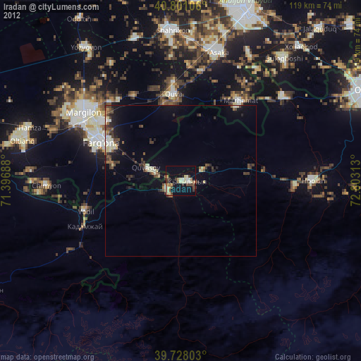
» Earth at Night: Flat Maps 2012, 2016