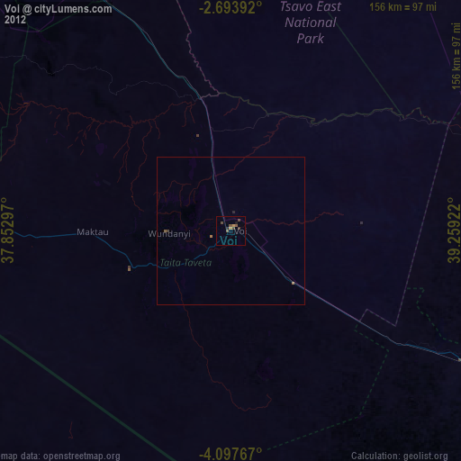
Voi night lights from space
Night Light of Voi (Taita Taveta) from space (Kenya) Src. Average luminocity for 10x10km area is 11.8571% and for 50x50km: 0.6284%.
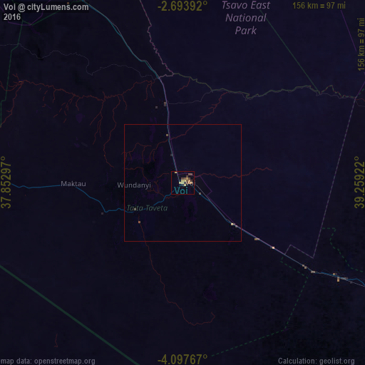
Analysis of Voi night lights 2016
Square area 10x10 km:
 0%
0%90-99
0%80-89
0.87%70-79
5.84%60-69
1.95%50-59
0.43%40-49
4.98%30-39
2.16%20-29
1.52%10-19
0.43%0-9
81.82%Square area 50x50 km:
0%90-99
0%80-89
0.03%70-79
0.27%60-69
0.08%50-59
0.02%40-49
0.27%30-39
0.2%20-29
0.1%10-19
0.03%0-9
99%Clear (daylight) street map image can be seen on geolist.org.
Map coordinates:
2° 41' 38.1" South, 37° 51' 10.7" East
3° 23' 45.8" South, 38° 33' 21.9" East
4° 5' 51.6" South, 39° 15' 33.2" East
Some cities around Voi sort by population:
• Lembeni, TZ
112.8 km =70.1 mi,  247°
247°
• Taveta
96.9 km =60.2 mi,  269°
269°
• Mariakani
114.4 km =71.1 mi,  116°
116°
• Wundanyi
22.1 km =13.7 mi, 269°
• Mwembe, TZ
114.7 km =71.3 mi,  223°
223°
• Kwakoa, TZ
101.9 km =63.3 mi, 246°
• Kisiwani, TZ
106 km =65.9 mi, 219°
• Mwatate
23.3 km =14.5 mi,  238°
238°
178522 (p: 45,483)
Sources (retrieved 2019-11-25):
» Earth at Night: Flat Maps 2012, 2016