Taveta night lights from space
Night Light of Taveta (Taita Taveta) from space (Kenya) Src. Average luminocity for 10x10km area is 0.9329% and for 50x50km: 0.0773%.
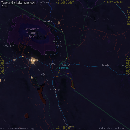
Analysis of Taveta night lights 2016
Square area 10x10 km:
 0%
0%90-99
0%80-89
0%70-79
0%60-69
0%50-59
0.65%40-49
0.22%30-39
0.22%20-29
1.52%10-19
0%0-9
97.4%Square area 50x50 km:
0%90-99
0%80-89
0%70-79
0%60-69
0%50-59
0.03%40-49
0.06%30-39
0.03%20-29
0.06%10-19
0.03%0-9
99.79%Clear (daylight) street map image can be seen on geolist.org.
Map coordinates:
2° 41' 48" South, 36° 58' 48.9" East
3° 23' 55.6" South, 37° 41' 0.1" East
4° 6' 1.5" South, 38° 23' 11.4" East
Some cities around Taveta sort by population:
• Moshi, TZ
39.2 km =24.4 mi,  277°
277°
• Merelani, TZ
80.3 km =49.9 mi,  256°
256°
• Kingori, TZ
78.8 km =49 mi, 279°
• Same, TZ
74.5 km =46.3 mi,  175°
175°
• Lembeni, TZ
43.4 km =27 mi,  189°
189°
• Wundanyi
74.8 km =46.5 mi,  89°
89°
• Kwakoa, TZ
41.1 km =25.5 mi,  174°
174°
• Mwatate
77.9 km =48.4 mi,  98°
98°
179525 (p: 13,377)
Sources (retrieved 2019-11-25):
» Earth at Night: Flat Maps 2012, 2016