Kisiwani night lights from space
Night Light of Kisiwani (Kilimanjaro) from space (Tanzania) Src. Average luminocity for 10x10km area is 0% and for 50x50km: 0.082%.
Analysis of Kisiwani night lights 2016
Square area 10x10 km:
100  0%
0%
90-99 0%
80-89 0%
70-79 0%
60-69 0%
50-59 0%
40-49 0%
30-39 0%
20-29 0%
10-19 0%
0-9 100%
0%90-99
0%80-89
0%70-79
0%60-69
0%50-59
0%40-49
0%30-39
0%20-29
0%10-19
0%0-9
100%Square area 50x50 km:
100 0%
90-99 0%
80-89 0%
70-79 0%
60-69 0%
50-59 0.03%
40-49 0.04%
30-39 0.03%
20-29 0.07%
10-19 0.1%
0-9 99.73%
0%90-99
0%80-89
0%70-79
0%60-69
0%50-59
0.03%40-49
0.04%30-39
0.03%20-29
0.07%10-19
0.1%0-9
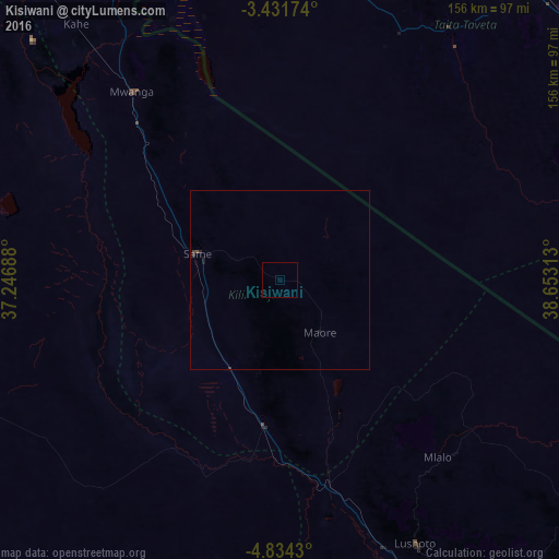
99.73%Clear (daylight) street map image can be seen on geolist.org.
Map coordinates:
3° 25' 54.3" South, 37° 14' 48.8" East
4° 7' 60" South, 37° 57' 0" East
4° 50' 3.5" South, 38° 39' 11.3" East
Some cities around Kisiwani sort by population:
• Hedaru
41.1 km =25.5 mi,  187°
187°
• Same
25.1 km =15.6 mi,  287°
287°
• Lembeni
53.7 km =33.4 mi,  316°
316°
• Ndungu
28.2 km =17.5 mi,  156°
156°
• Makanya
29 km =18 mi,  206°
206°
• Mwembe
11.2 km =7 mi,  260°
260°
• Kihurio
39.3 km =24.4 mi, 160°
• Kwakoa
48.3 km =30 mi,  327°
327°
156918 (p: 7,126)
Sources (retrieved 2019-11-25):
» Earth at Night: Flat Maps 2012, 2016