Uji night lights from space
Night Light of Uji (Kyoto) from space (Japan) Src. Average luminocity for 10x10km area is 64.0128% and for 50x50km: 45.1345%.
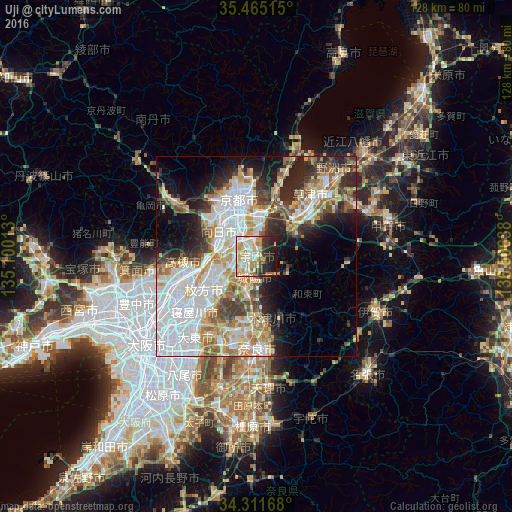
Analysis of Uji night lights 2016
Square area 10x10 km:
 8.24%
8.24%90-99
18.68%80-89
15.38%70-79
11.72%60-69
8.61%50-59
3.11%40-49
3.3%30-39
6.04%20-29
14.29%10-19
10.62%0-9
0%Square area 50x50 km:
13.68%90-99
9.2%80-89
6.41%70-79
5.35%60-69
5.1%50-59
4.3%40-49
4.44%30-39
4.62%20-29
8.1%10-19
9.54%0-9
29.26%Clear (daylight) street map image can be seen on geolist.org.
Map coordinates:
35° 27' 54.5" North, 135° 6' 0.5" East
34° 53' 25.6" North, 135° 48' 11.7" East
34° 18' 42" North, 136° 30' 23" East
Some cities around Uji sort by population:
• Kyoto
15.2 km =9.4 mi,  342°
342°
• Hirakata
16.5 km =10.3 mi,  238°
238°
• Takatsuki
17.6 km =10.9 mi,  254°
254°
• Ōtsu
13.5 km =8.4 mi,  25°
25°
• Kamigyō-ku
16 km =9.9 mi, 344°
• Yawata
9.4 km =5.8 mi,  256°
256°
• Tanabe
8.3 km =5.2 mi,  204°
204°
• Mukō
12.3 km =7.6 mi,  312°
312°
1849372 (p: 192,925)
Sources (retrieved 2019-11-25):
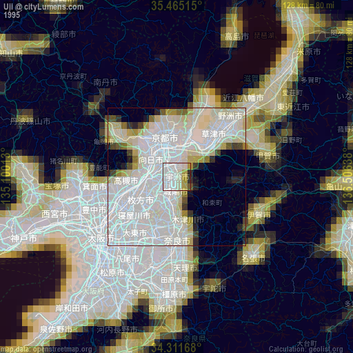
» NASA, Earths city lights 1995
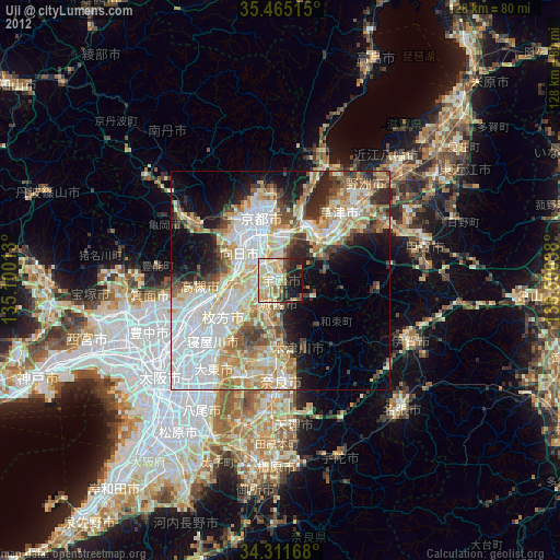
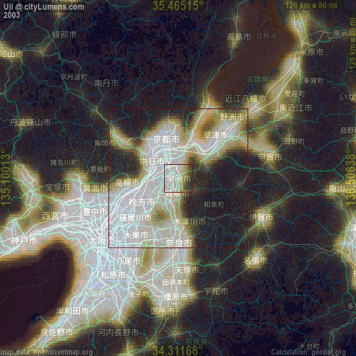
» NASA city lights 2003
» Earth at Night: Flat Maps 2012, 2016