Mukō night lights from space
Night Light of Mukō (Kyoto) from space (Japan) Src. Average luminocity for 10x10km area is 85.1319% and for 50x50km: 39.5511%.
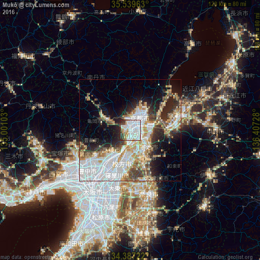
Analysis of Mukō night lights 2016
Square area 10x10 km:
 44.87%
90-99
23.08%80-89
6.78%70-79
4.21%60-69
2.2%50-59
5.13%40-49
4.4%30-39
4.58%20-29
4.76%10-19
0%0-9
0%Square area 50x50 km:
12.59%90-99
8.44%80-89
4.86%70-79
4.25%60-69
3.83%50-59
3.53%40-49
4.02%30-39
4.16%20-29
7.27%10-19
9.67%0-9
37.39%Clear (daylight) street map image can be seen on geolist.org.
Map coordinates:
35° 32' 22.7" North, 135° 0' 3.7" East
34° 57' 55.6" North, 135° 42' 14.9" East
34° 23' 14" North, 136° 24' 26.2" East
Some cities around Mukō sort by population:
• Kyoto
7.7 km =4.8 mi,  36°
36°
• Takatsuki
15.3 km =9.5 mi,  211°
211°
• Ōtsu
15.3 km =9.5 mi,  75°
75°
• Uji
12.3 km =7.6 mi,  132°
132°
• Kameoka
11.7 km =7.3 mi,  289°
289°
• Kamigyō-ku
8.6 km =5.3 mi,  33°
33°
• Yawata
10.6 km =6.6 mi,  180°
180°
• Arashiyama
6 km =3.7 mi,  336°
336°
1856456 (p: 53,222)
Sources (retrieved 2019-11-25):
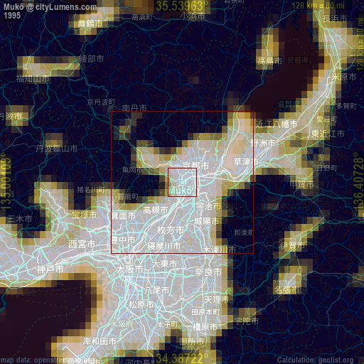
» NASA, Earths city lights 1995
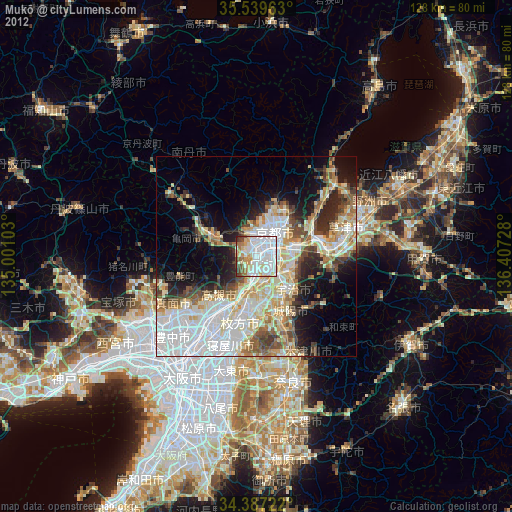
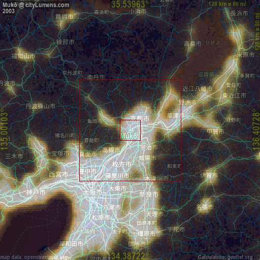
» NASA city lights 2003
» Earth at Night: Flat Maps 2012, 2016