Takanabe night lights from space
Night Light of Takanabe (Miyazaki) from space (Japan) Src. Average luminocity for 10x10km area is 5.7535% and for 50x50km: 3.2773%.
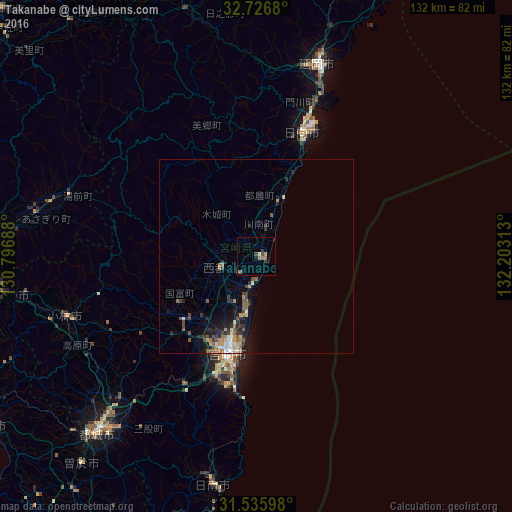
Analysis of Takanabe night lights 2016
Square area 10x10 km:
 0%
0%90-99
0.35%80-89
0.35%70-79
0.7%60-69
2.1%50-59
0.7%40-49
2.1%30-39
1.22%20-29
0.35%10-19
2.27%0-9
89.86%Square area 50x50 km:
0.24%90-99
0.33%80-89
0.44%70-79
0.22%60-69
0.64%50-59
0.75%40-49
0.54%30-39
0.59%20-29
1.11%10-19
1.91%0-9
93.24%Clear (daylight) street map image can be seen on geolist.org.
Map coordinates:
32° 43' 36.5" North, 130° 47' 48.8" East
32° 7' 60" North, 131° 30' 0" East
31° 32' 9.5" North, 132° 12' 11.3" East
Some cities around Takanabe sort by population:
• Miyazaki
25.3 km =15.7 mi,  198°
198°
• Miyakonojō
60.4 km =37.5 mi,  222°
222°
• Nobeoka
52.4 km =32.6 mi,  17°
17°
• Nichinan
60.6 km =37.7 mi,  191°
191°
• Kobayashi
51.5 km =32 mi,  251°
251°
• Hitoyoshi
71.2 km =44.2 mi,  277°
277°
• Tsuma
10.1 km =6.3 mi, 248°
• Sueyoshichō-ninokata
70.5 km =43.8 mi, 220°
1851068 (p: 22,513)
Sources (retrieved 2019-11-25):
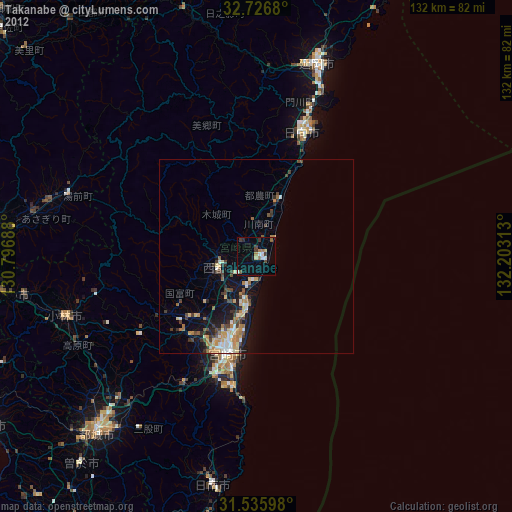
» Earth at Night: Flat Maps 2012, 2016