Takarazuka night lights from space
Night Light of Takarazuka (Hyōgo) from space (Japan) Src. Average luminocity for 10x10km area is 83.9524% and for 50x50km: 50.3027%.
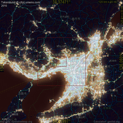
Analysis of Takarazuka night lights 2016
Square area 10x10 km:
 36.81%
90-99
23.63%80-89
7.33%70-79
8.24%60-69
9.89%50-59
2.93%40-49
2.2%30-39
7.88%20-29
1.1%10-19
0%0-9
0%Square area 50x50 km:
25.82%90-99
8.77%80-89
3.64%70-79
2.65%60-69
3.29%50-59
3.42%40-49
3.28%30-39
4.99%20-29
6.72%10-19
10.04%0-9
27.39%Clear (daylight) street map image can be seen on geolist.org.
Map coordinates:
35° 22' 29" North, 134° 39' 13.9" East
34° 47' 57.7" North, 135° 21' 25.1" East
34° 13' 11.9" North, 136° 3' 36.4" East
Some cities around Takarazuka sort by population:
• Nishinomiya-hama
9.6 km =6 mi,  193°
193°
• Amagasaki
10.7 km =6.6 mi,  149°
149°
• Toyonaka
10.4 km =6.5 mi,  100°
100°
• Itami
4.4 km =2.7 mi,  112°
112°
• Kawanishi
5.8 km =3.6 mi,  70°
70°
• Mino
10.8 km =6.7 mi, 73°
• Ikeda
7.1 km =4.4 mi, 69°
• Ashiya
9.4 km =5.8 mi,  212°
212°
1851012 (p: 219,789)
Sources (retrieved 2019-11-25):
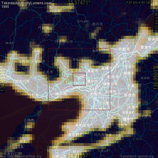
» NASA, Earths city lights 1995
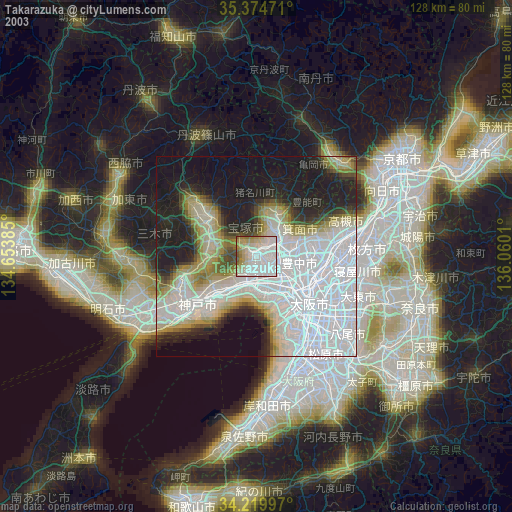
» NASA city lights 2003
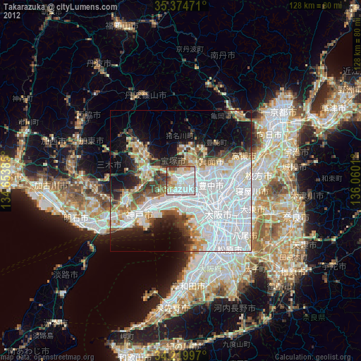
» Earth at Night: Flat Maps 2012, 2016