Nabari night lights from space
Night Light of Nabari (Mie) from space (Japan) Src. Average luminocity for 10x10km area is 21.1311% and for 50x50km: 8.5126%.
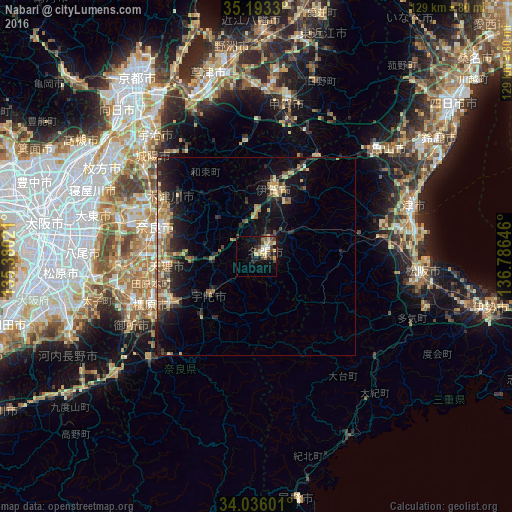
Analysis of Nabari night lights 2016
Square area 10x10 km:
 0.87%
0.87%90-99
2.45%80-89
6.82%70-79
1.92%60-69
2.1%50-59
1.92%40-49
5.94%30-39
2.27%20-29
4.2%10-19
13.46%0-9
58.04%Square area 50x50 km:
0.28%90-99
0.69%80-89
1.75%70-79
0.99%60-69
1.35%50-59
1.6%40-49
1.44%30-39
1.29%20-29
3.07%10-19
6.75%0-9
80.79%Clear (daylight) street map image can be seen on geolist.org.
Map coordinates:
35° 11' 35.9" North, 135° 22' 48.8" East
34° 37' 0" North, 136° 4' 60" East
34° 2' 9.6" North, 136° 47' 11.3" East
Some cities around Nabari sort by population:
• Nara-shi
26.6 km =16.5 mi,  286°
286°
• Kashihara-shi
29.2 km =18.1 mi,  245°
245°
• Tenri
23.2 km =14.4 mi,  260°
260°
• Sakurai
25 km =15.5 mi,  238°
238°
• Ueno-ebisumachi
16.4 km =10.2 mi,  15°
15°
• Tawaramoto
27.5 km =17.1 mi, 255°
• Hōryūji
31.6 km =19.6 mi,  269°
269°
• Haibara-akanedai
15.3 km =9.5 mi,  232°
232°
1856293 (p: 88,128)
Sources (retrieved 2019-11-25):
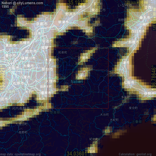
» NASA, Earths city lights 1995
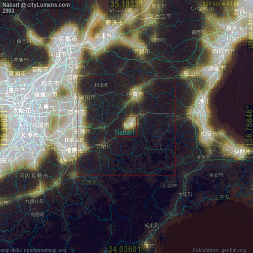
» NASA city lights 2003
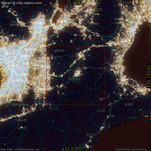
» Earth at Night: Flat Maps 2012, 2016