Matsutō night lights from space
Night Light of Matsutō (Ishikawa) from space (Japan) Src. Average luminocity for 10x10km area is 59.989% and for 50x50km: 14.4685%.
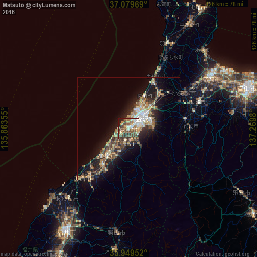
Analysis of Matsutō night lights 2016
Square area 10x10 km:
 6.96%
6.96%90-99
11.36%80-89
8.24%70-79
9.89%60-69
8.61%50-59
15.2%40-49
18.68%30-39
10.44%20-29
6.04%10-19
4.58%0-9
0%Square area 50x50 km:
1.28%90-99
2.16%80-89
1.95%70-79
1.82%60-69
2.39%50-59
2.48%40-49
3.29%30-39
2.36%20-29
4.05%10-19
9.44%0-9
68.8%Clear (daylight) street map image can be seen on geolist.org.
Map coordinates:
37° 4' 46.9" North, 135° 51' 48.8" East
36° 31' 0" North, 136° 34' 0" East
35° 56' 58.3" North, 137° 16' 11.3" East
Some cities around Matsutō sort by population:
• Kanazawa
10.3 km =6.4 mi,  25°
25°
• Komatsu
16.4 km =10.2 mi,  219°
219°
• Nanto-shi
31.4 km =19.5 mi,  79°
79°
• Nonoichi
4.8 km =3 mi,  67°
67°
• Tsubata
23.1 km =14.4 mi,  42°
42°
• Hakui
45.1 km =28 mi, 25°
• Tsurugi-asahimachi
9.5 km =5.9 mi,  141°
141°
• Fukumitsu
27.4 km =17 mi, 80°
1857470 (p: 68,159)
Sources (retrieved 2019-11-25):
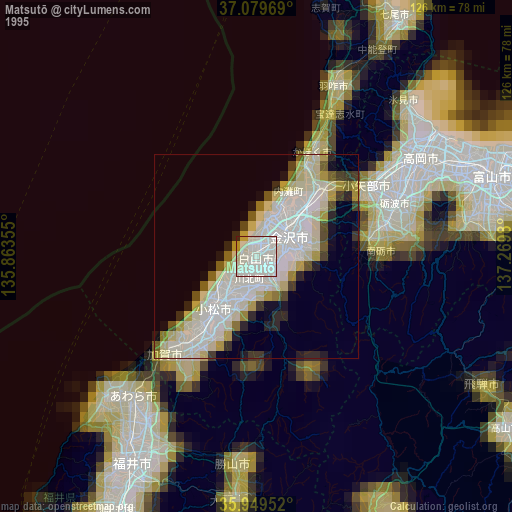
» NASA, Earths city lights 1995
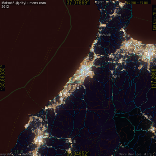
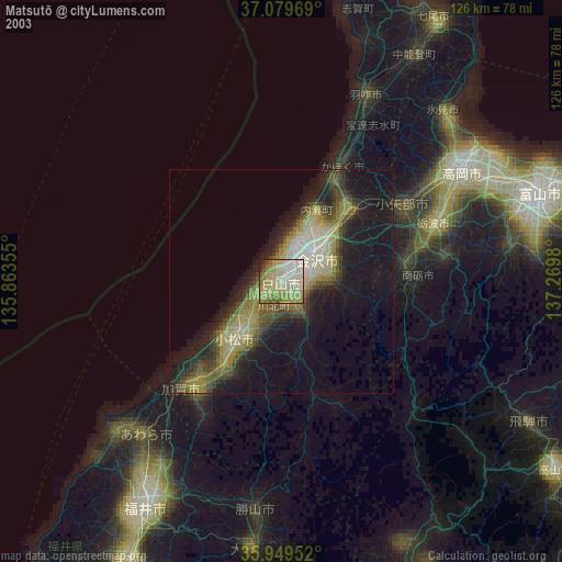
» NASA city lights 2003
» Earth at Night: Flat Maps 2012, 2016