Kobe night lights from space
Night Light of Kobe (Hyōgo) from space (Japan) Src. Average luminocity for 10x10km area is 78.6713% and for 50x50km: 40.0352%.
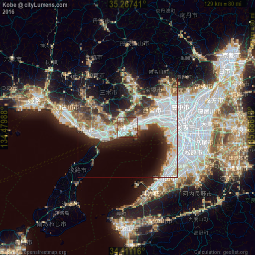
Analysis of Kobe night lights 2016
Square area 10x10 km:
 26.05%
90-99
24.83%80-89
7.34%70-79
2.8%60-69
10.14%50-59
12.76%40-49
10.31%30-39
3.85%20-29
1.92%10-19
0%0-9
0%Square area 50x50 km:
12.15%90-99
8.02%80-89
4.26%70-79
3.46%60-69
4.74%50-59
4.47%40-49
4.32%30-39
6.65%20-29
8.75%10-19
10.55%0-9
32.62%Clear (daylight) street map image can be seen on geolist.org.
Map coordinates:
35° 16' 2.7" North, 134° 28' 47.6" East
34° 41' 28.7" North, 135° 10' 58.8" East
34° 6' 40.2" North, 135° 53' 10.1" East
Some cities around Kobe sort by population:
• Nishinomiya-hama
13.9 km =8.6 mi,  78°
78°
• Amagasaki
21.5 km =13.4 mi, 82°
• Akashi
16.6 km =10.3 mi,  256°
256°
• Takarazuka
19.9 km =12.4 mi,  52°
52°
• Itami
22.5 km =14 mi,  62°
62°
• Sandachō
21.8 km =13.5 mi,  10°
10°
• Ashiya
11.7 km =7.3 mi,  69°
69°
• Miki
21.9 km =13.6 mi,  303°
303°
1859171 (p: 1,528,478)
Sources (retrieved 2019-11-25):
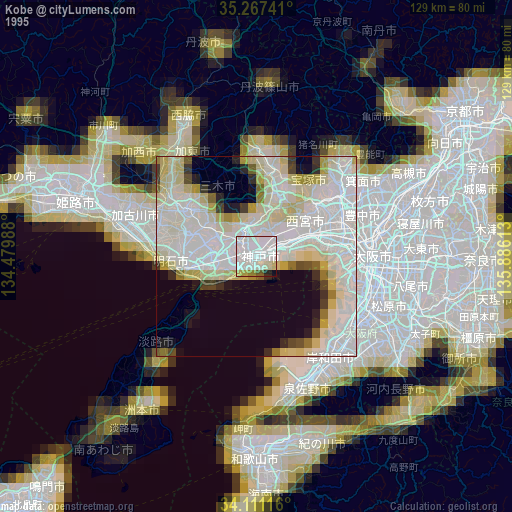
» NASA, Earths city lights 1995
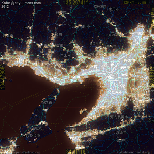
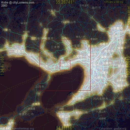
» NASA city lights 2003
» Earth at Night: Flat Maps 2012, 2016