Ikoma night lights from space
Night Light of Ikoma (Nara) from space (Japan) Src. Average luminocity for 10x10km area is 70.6521% and for 50x50km: 62.598%.
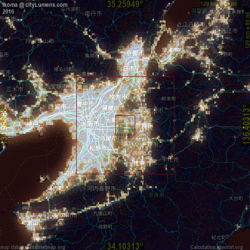
Analysis of Ikoma night lights 2016
Square area 10x10 km:
 7.69%
7.69%90-99
10.66%80-89
17.83%70-79
12.94%60-69
18.71%50-59
17.66%40-49
12.76%30-39
1.75%20-29
0%10-19
0%0-9
0%Square area 50x50 km:
26.38%90-99
12.17%80-89
7.13%70-79
5.96%60-69
8.16%50-59
6.25%40-49
4.45%30-39
3.11%20-29
4.47%10-19
5.07%0-9
16.84%Clear (daylight) street map image can be seen on geolist.org.
Map coordinates:
35° 15' 34.2" North, 134° 59' 48.8" East
34° 40' 60" North, 135° 42' 0" East
34° 6' 11.3" North, 136° 24' 11.3" East
Some cities around Ikoma sort by population:
• Nara-shi
9.6 km =6 mi,  88°
88°
• Yao
11.8 km =7.3 mi,  230°
230°
• Neyagawa
11.3 km =7 mi,  324°
324°
• Moriguchi
13.4 km =8.3 mi,  294°
294°
• Kadoma
13 km =8.1 mi,  297°
297°
• Daitōchō
8 km =5 mi, 294°
• Kashihara
13.5 km =8.4 mi,  214°
214°
• Hōryūji
8.6 km =5.3 mi,  156°
156°
1861749 (p: 117,601)
Sources (retrieved 2019-11-25):
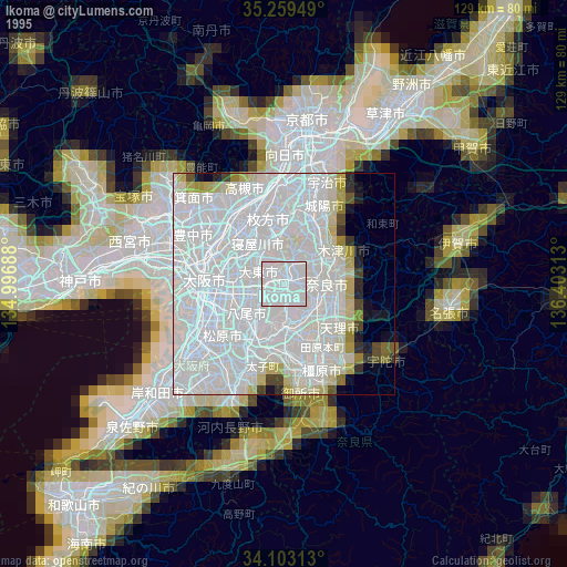
» NASA, Earths city lights 1995
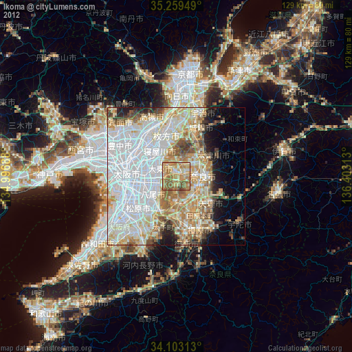
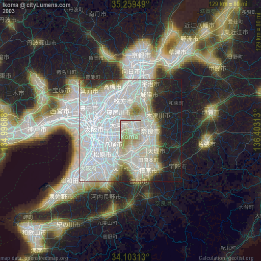
» NASA city lights 2003
» Earth at Night: Flat Maps 2012, 2016