Vignate night lights from space
Night Light of Vignate (Lombardy) from space (Italy) Src. Average luminocity for 10x10km area is 81.6175% and for 50x50km: 71.0275%.
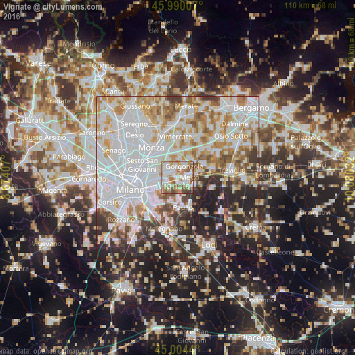
Analysis of Vignate night lights 2016
Square area 10x10 km:
 26.51%
90-99
23.81%80-89
7.94%70-79
10.16%60-69
13.33%50-59
11.9%40-49
4.13%30-39
2.22%20-29
0%10-19
0%0-9
0%Square area 50x50 km:
27.35%90-99
16.98%80-89
6.26%70-79
8.02%60-69
7.82%50-59
5.89%40-49
4.74%30-39
5.76%20-29
11.08%10-19
5.52%0-9
0.58%Clear (daylight) street map image can be seen on geolist.org.
Map coordinates:
45° 59' 24.3" North, 8° 40' 26.7" East
45° 29' 57.8" North, 9° 22' 37.9" East
45° 0' 15.8" North, 10° 4' 49.2" East
Some cities around Vignate sort by population:
• Pioltello
3.6 km =2.2 mi,  273°
273°
• Cernusco sul Naviglio
4.5 km =2.8 mi,  309°
309°
• Segrate
6.2 km =3.9 mi,  262°
262°
• Gorgonzola
4.1 km =2.5 mi,  32°
32°
• Melzo
3.4 km =2.1 mi,  92°
92°
• Cassina de' Pecchi
2.3 km =1.4 mi,  324°
324°
• Bussero
3.9 km =2.4 mi,  354°
354°
• Pessano Con Bornago
5.6 km =3.5 mi,  3°
3°
3164352 (p: 8,800)
Sources (retrieved 2019-11-25):
» Earth at Night: Flat Maps 2012, 2016