Segrate night lights from space
Night Light of Segrate (Lombardy) from space (Italy) Src. Average luminocity for 10x10km area is 92.181% and for 50x50km: 71.6246%.
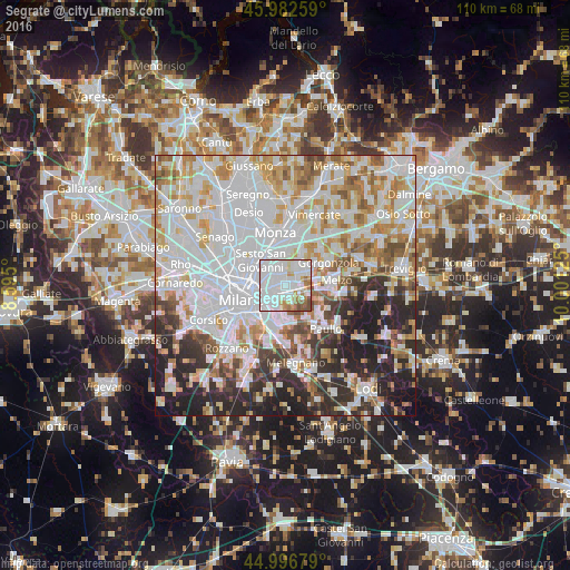
Analysis of Segrate night lights 2016
Square area 10x10 km:
 55.4%
55.4%90-99
22.06%80-89
5.08%70-79
4.6%60-69
7.46%50-59
2.54%40-49
2.86%30-39
0%20-29
0%10-19
0%0-9
0%Square area 50x50 km:
27.78%90-99
17.68%80-89
6.73%70-79
7.7%60-69
7.64%50-59
5.45%40-49
4.4%30-39
5.23%20-29
10.74%10-19
6.36%0-9
0.3%Clear (daylight) street map image can be seen on geolist.org.
Map coordinates:
45° 58' 57.3" North, 8° 35' 42" East
45° 29' 30.7" North, 9° 17' 53.2" East
44° 59' 48.4" North, 10° 0' 4.5" East
Some cities around Segrate sort by population:
• Cologno Monzese
4.5 km =2.8 mi,  339°
339°
• Pioltello
2.7 km =1.7 mi,  67°
67°
• Brugherio
6.8 km =4.2 mi,  0°
0°
• Cernusco sul Naviglio
4.6 km =2.9 mi,  36°
36°
• Vimodrone
2.7 km =1.7 mi, 342°
• Bettola-Zeloforomagno
6.8 km =4.2 mi,  173°
173°
• Cassina de' Pecchi
5.5 km =3.4 mi,  60°
60°
• Vignate
6.2 km =3.9 mi,  82°
82°
3166808 (p: 28,296)
Sources (retrieved 2019-11-25):
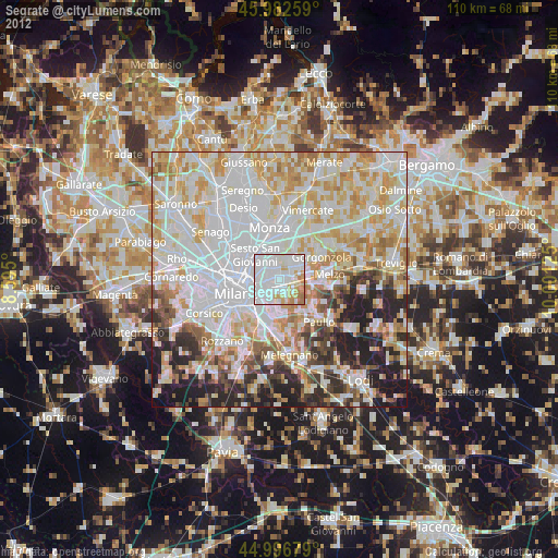
» Earth at Night: Flat Maps 2012, 2016