Valdagno night lights from space
Night Light of Valdagno (Veneto) from space (Italy) Src. Average luminocity for 10x10km area is 25.55% and for 50x50km: 26.5831%.
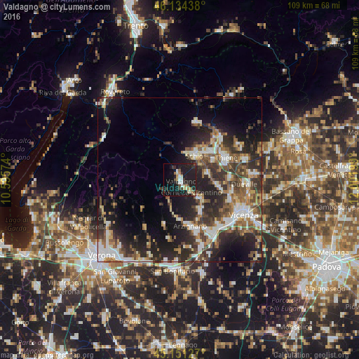
Analysis of Valdagno night lights 2016
Square area 10x10 km:
 1.82%
1.82%90-99
3.64%80-89
3.18%70-79
2.42%60-69
2.88%50-59
1.52%40-49
2.58%30-39
6.21%20-29
6.82%10-19
45%0-9
23.94%Square area 50x50 km:
3.75%90-99
5.01%80-89
2.51%70-79
2.67%60-69
3.32%50-59
4.43%40-49
5.02%30-39
5.3%20-29
9.94%10-19
13.85%0-9
44.2%Clear (daylight) street map image can be seen on geolist.org.
Map coordinates:
46° 8' 3.8" North, 10° 35' 44.7" East
45° 38' 41.9" North, 11° 17' 55.9" East
45° 9' 4.6" North, 12° 0' 7.2" East
Some cities around Valdagno sort by population:
• Schio
8.8 km =5.5 mi,  30°
30°
• Arzignano
14.1 km =8.8 mi,  168°
168°
• Malo
9.2 km =5.7 mi,  80°
80°
• Chiampo
10.9 km =6.8 mi,  186°
186°
• Marano Vicentino
11.8 km =7.3 mi,  61°
61°
• Cornedo Vicentino
4.1 km =2.5 mi,  140°
140°
• Trissino
11.2 km =7 mi,  147°
147°
• Santorso
12.1 km =7.5 mi, 34°
3164954 (p: 22,555)
Sources (retrieved 2019-11-25):
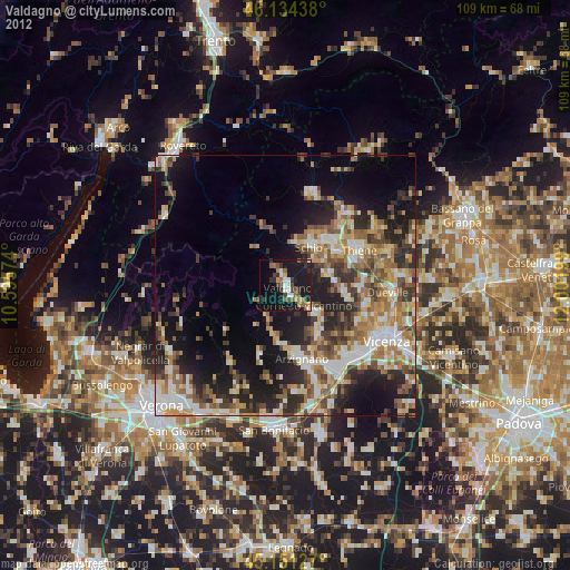
» Earth at Night: Flat Maps 2012, 2016