Thiene night lights from space
Night Light of Thiene (Veneto) from space (Italy) Src. Average luminocity for 10x10km area is 59.8652% and for 50x50km: 30.1414%.
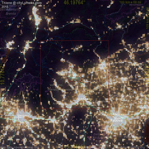
Analysis of Thiene night lights 2016
Square area 10x10 km:
 8.48%
8.48%90-99
15%80-89
4.09%70-79
5.76%60-69
9.55%50-59
15.61%40-49
13.03%30-39
19.24%20-29
8.79%10-19
0.45%0-9
0%Square area 50x50 km:
3.68%90-99
5.41%80-89
3.17%70-79
3.19%60-69
4.28%50-59
6.11%40-49
5.96%30-39
7.12%20-29
11.19%10-19
10.59%0-9
39.29%Clear (daylight) street map image can be seen on geolist.org.
Map coordinates:
46° 11' 51.5" North, 10° 46' 35.3" East
45° 42' 31.7" North, 11° 28' 46.5" East
45° 12' 56.3" North, 12° 10' 57.8" East
Some cities around Thiene sort by population:
• Schio
9.6 km =6 mi,  272°
272°
• Malo
7.4 km =4.6 mi,  221°
221°
• Dueville
9.9 km =6.2 mi,  145°
145°
• Marano Vicentino
3.9 km =2.4 mi,  248°
248°
• Piovene Rocchette
6.4 km =4 mi,  325°
325°
• Zanè
2.8 km =1.7 mi,  301°
301°
• Breganze
6.3 km =3.9 mi,  93°
93°
• Santorso
7.6 km =4.7 mi,  291°
291°
3165698 (p: 21,145)
Sources (retrieved 2019-11-25):
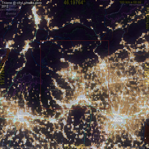
» Earth at Night: Flat Maps 2012, 2016