San Donà di Piave night lights from space
Night Light of San Donà di Piave (Veneto) from space (Italy) Src. Average luminocity for 10x10km area is 50.6303% and for 50x50km: 28.1943%.
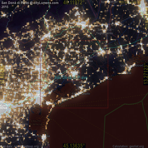
Analysis of San Donà di Piave night lights 2016
Square area 10x10 km:
 9.24%
9.24%90-99
9.85%80-89
5.3%70-79
5.45%60-69
5%50-59
9.24%40-49
10%30-39
9.09%20-29
20%10-19
16.67%0-9
0.15%Square area 50x50 km:
3.43%90-99
4.8%80-89
2.62%70-79
3.12%60-69
3.56%50-59
4.43%40-49
4.54%30-39
4.52%20-29
11.86%10-19
24.27%0-9
32.86%Clear (daylight) street map image can be seen on geolist.org.
Map coordinates:
46° 7' 11" North, 11° 51' 53.9" East
45° 37' 48.7" North, 12° 34' 5.2" East
45° 8' 10.9" North, 13° 16' 16.4" East
Some cities around San Donà di Piave sort by population:
• Lido di Jesolo
15 km =9.3 mi,  155°
155°
• Iesolo
12.3 km =7.6 mi,  151°
151°
• Musile di Piave
2.3 km =1.4 mi,  242°
242°
• San Stino di Livenza
14.2 km =8.8 mi,  41°
41°
• Roncade
14.9 km =9.3 mi,  266°
266°
• Salgareda
10.4 km =6.5 mi,  323°
323°
• Ceggia
8.6 km =5.3 mi, 42°
• Noventa di Piave
4.3 km =2.7 mi, 320°
3168429 (p: 32,819)
Sources (retrieved 2019-11-25):
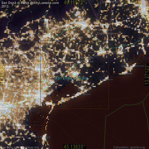
» Earth at Night: Flat Maps 2012, 2016