Rossano Stazione night lights from space
Night Light of Rossano Stazione (Calabria) from space (Italy) Src. Average luminocity for 10x10km area is 31.6494% and for 50x50km: 7.1272%.
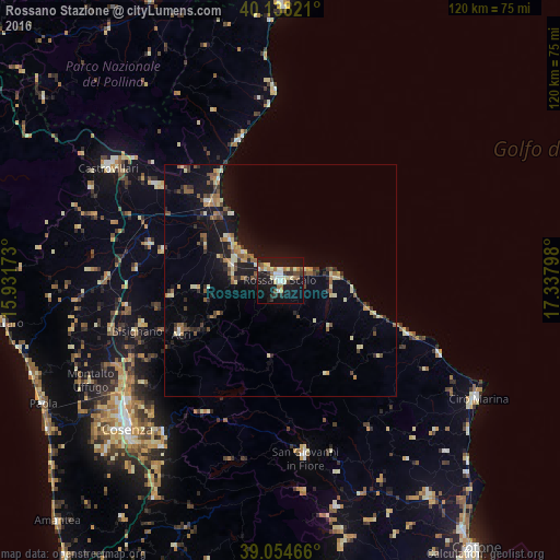
Analysis of Rossano Stazione night lights 2016
Square area 10x10 km:
 2.92%
2.92%90-99
6.98%80-89
5.52%70-79
1.95%60-69
4.71%50-59
1.62%40-49
4.22%30-39
3.57%20-29
5.52%10-19
44.97%0-9
18.02%Square area 50x50 km:
0.22%90-99
1%80-89
1.07%70-79
0.63%60-69
0.92%50-59
1.34%40-49
0.99%30-39
1.08%20-29
1.25%10-19
7.16%0-9
84.35%Clear (daylight) street map image can be seen on geolist.org.
Map coordinates:
40° 8' 17.6" North, 15° 55' 54.2" East
39° 35' 54.8" North, 16° 38' 5.5" East
39° 3' 16.8" North, 17° 20' 16.7" East
Some cities around Rossano Stazione sort by population:
• Corigliano Scalo
10.9 km =6.8 mi,  287°
287°
• Acri
24.2 km =15 mi,  241°
241°
• Mirto
11.9 km =7.4 mi,  88°
88°
• Trebisacce
31.5 km =19.6 mi,  344°
344°
• Cariati
29.7 km =18.5 mi,  112°
112°
• Marina di Schiavonea
10.4 km =6.5 mi,  303°
303°
• Spezzano Albanese
28.9 km =18 mi, 285°
• Corigliano Calabro
9.9 km =6.2 mi,  268°
268°
2523577 (p: 23,824)
Sources (retrieved 2019-11-25):
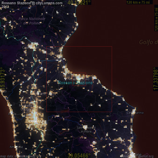
» Earth at Night: Flat Maps 2012, 2016