Porto Tolle night lights from space
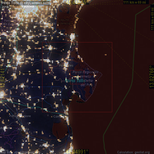
Night Light of Porto Tolle (Veneto) from space (Italy) Src. Average luminocity for 10x10km area is 7.1778% and for 50x50km: 6.4598%.
Analysis of Porto Tolle night lights 2016
Square area 10x10 km:
 0.48%
0.48%90-99
0.48%80-89
0.95%70-79
1.9%60-69
0.16%50-59
1.75%40-49
1.9%30-39
0.16%20-29
0.48%10-19
0%0-9
91.75%Square area 50x50 km:
0.52%90-99
1.02%80-89
0.66%70-79
0.68%60-69
0.69%50-59
0.97%40-49
0.85%30-39
0.66%20-29
1.06%10-19
5.36%0-9
87.51%Clear (daylight) street map image can be seen on geolist.org.
Map coordinates:
45° 26' 42.5" North, 11° 37' 17.1" East
44° 56' 58.9" North, 12° 19' 28.3" East
44° 26' 59.7" North, 13° 1' 39.6" East
Some cities around Porto Tolle sort by population:
• Chioggia
30.1 km =18.7 mi,  352°
352°
• Taglio
12 km =7.5 mi,  312°
312°
• Adria
24.1 km =15 mi,  298°
298°
• Cavarzere
27.9 km =17.3 mi,  317°
317°
• Comacchio
30.5 km =19 mi,  201°
201°
• Taglio di Po
10.5 km =6.5 mi, 303°
• Codigoro
21.4 km =13.3 mi,  231°
231°
• Rosolina
16 km =9.9 mi,  332°
332°
3170070 (p: 10,666)
Sources (retrieved 2019-11-25):
» Earth at Night: Flat Maps 2012, 2016