Aprilia night lights from space
Night Light of Aprilia (Latium) from space (Italy) Src. Average luminocity for 10x10km area is 55.2256% and for 50x50km: 37.086%.
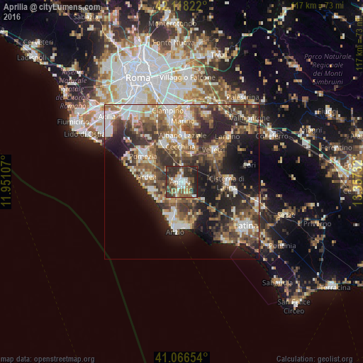
Analysis of Aprilia night lights 2016
Square area 10x10 km:
 9.09%
9.09%90-99
12.18%80-89
2.92%70-79
4.87%60-69
7.31%50-59
15.1%40-49
9.25%30-39
18.34%20-29
19.16%10-19
1.79%0-9
0%Square area 50x50 km:
5.14%90-99
6.82%80-89
4.03%70-79
4.46%60-69
5.58%50-59
6.89%40-49
7.68%30-39
7.97%20-29
11.27%10-19
13.64%0-9
26.52%Clear (daylight) street map image can be seen on geolist.org.
Map coordinates:
42° 7' 5.6" North, 11° 57' 3.9" East
41° 35' 40.3" North, 12° 39' 15.1" East
41° 3' 59.5" North, 13° 21' 26.4" East
Some cities around Aprilia sort by population:
• Velletri
14.4 km =8.9 mi,  45°
45°
• Genzano di Roma
12.8 km =8 mi,  13°
13°
• Marina di Ardea-Tor San Lorenzo
10.4 km =6.5 mi,  244°
244°
• Ariccia
14.1 km =8.8 mi, 6°
• Ardea
9.5 km =5.9 mi,  278°
278°
• Lavinio
11.5 km =7.1 mi,  207°
207°
• Cecchina
11.9 km =7.4 mi,  358°
358°
• Lanuvio
9.3 km =5.8 mi,  20°
20°
3182957 (p: 41,094)
Sources (retrieved 2019-11-25):
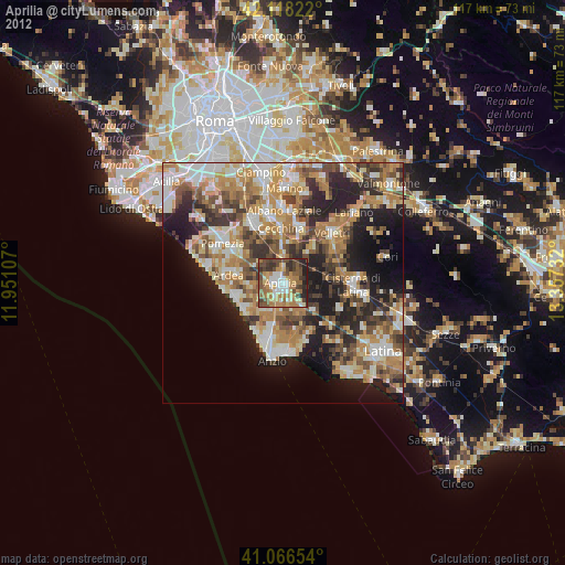
» Earth at Night: Flat Maps 2012, 2016