Macerata night lights from space
Night Light of Macerata (The Marches) from space (Italy) Src. Average luminocity for 10x10km area is 45.35% and for 50x50km: 24.5672%.
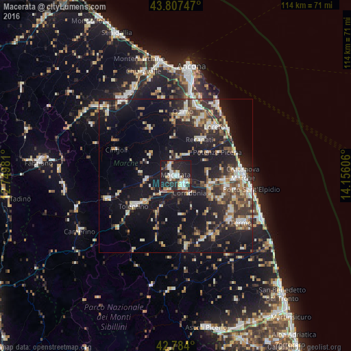
Analysis of Macerata night lights 2016
Square area 10x10 km:
 7.58%
7.58%90-99
13.64%80-89
4.55%70-79
3.64%60-69
4.39%50-59
3.18%40-49
2.73%30-39
5.61%20-29
26.06%10-19
28.64%0-9
0%Square area 50x50 km:
2.73%90-99
5.06%80-89
2.42%70-79
2.71%60-69
2.36%50-59
3.08%40-49
3.23%30-39
4.4%20-29
7.82%10-19
24.56%0-9
41.62%Clear (daylight) street map image can be seen on geolist.org.
Map coordinates:
43° 48' 26.9" North, 12° 44' 59.3" East
43° 17' 52.4" North, 13° 27' 10.5" East
42° 47' 2.4" North, 14° 9' 21.8" East
Some cities around Macerata sort by population:
• Tolentino
16.8 km =10.4 mi,  234°
234°
• Castelfidardo
19.6 km =12.2 mi,  23°
23°
• Recanati
14.3 km =8.9 mi,  34°
34°
• Montegranaro
16.2 km =10.1 mi,  117°
117°
• Corridonia
7.2 km =4.5 mi,  142°
142°
• Loreto
20.1 km =12.5 mi,  39°
39°
• Monte San Giusto
13.3 km =8.3 mi, 121°
• Filottrano
17.4 km =10.8 mi,  331°
331°
3174380 (p: 30,842)
Sources (retrieved 2019-11-25):
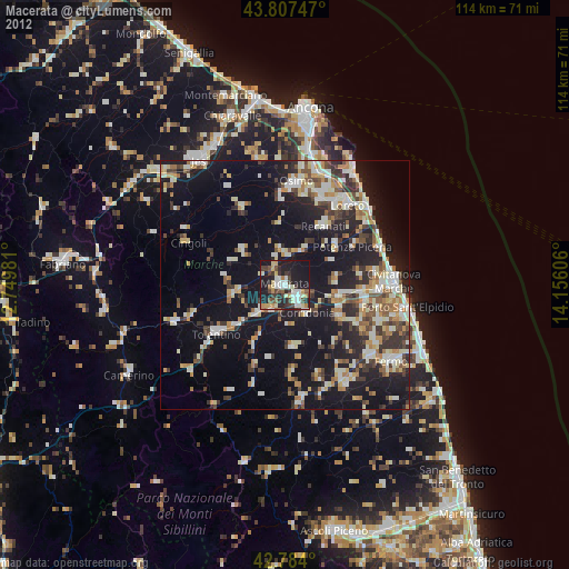
» Earth at Night: Flat Maps 2012, 2016